Transport Functions
Road
Multimodal
Hub Profile
Place type
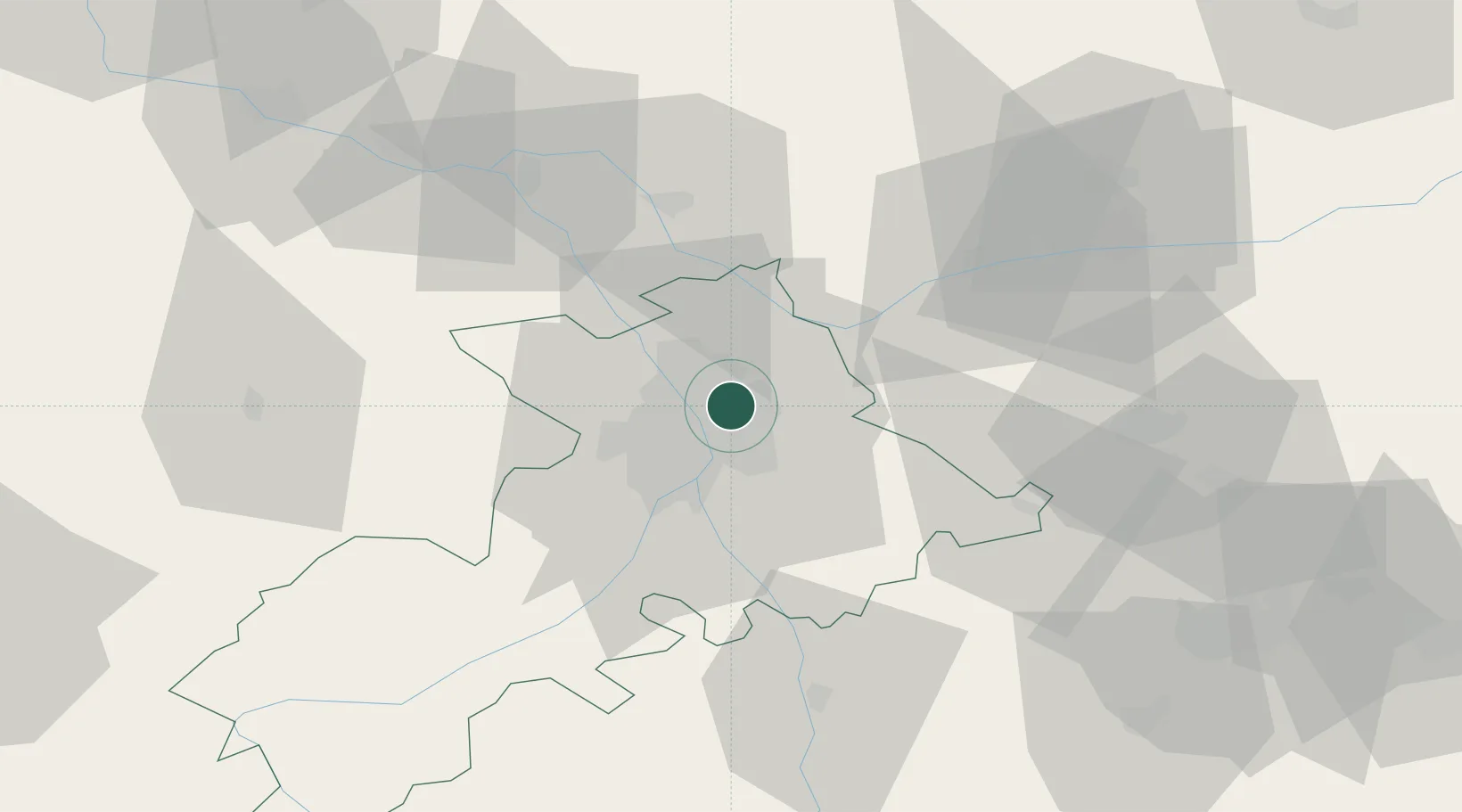
Populated place
Region
Occitanie
Population
12,139
Time zone
Europe/Paris
Elevation
180 m
Location
Nearby Logistics Neighbours
Cities
- 1Saint-Cyprien/Toulouse6 km
- 2Saint-Alban7 km
- 3Beauzelle7 km
- 4Toulouse9 km
- 5Lardenne10 km
Ports
- 1Port-La-Nouvelle147 km
- 2Sete182 km
- 3Port-Vendres184 km
- 4Rosas208 km
- 5Bordeaux211 km
Airports
Trade Zones
- 1ZFU Toulouse5 km
- 2ZFU Béziers145 km
- 3ZFU Perpignan157 km
- 4ZFU Montpellier192 km
- 5ZFU Hauts de Garonne209 km
DatabookThe Record of Consolidated Knowledge
France beyond logistics?