Economic Revitalization Project · France

ZFU Perpignan Active
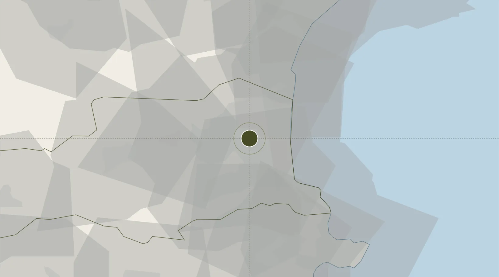
42.6995°, 2.8924°
175 ha
Zone area
27.4 km
Nearest port
4.9 km
Nearest airport

Gateway access

Nearest neighbours — logibook spatial index (haversine) over the source coordinates

Zone profile

Zone type
Economic Revitalization Project
Open Zone Map
Region
Pyrénées-Orientales
Open Zone Map
Status
Active
Open Zone Map
Management
Public
Open Zone Map
Operator
Mairie de Perpignan
Open Zone Map
Legal framework
Décret no 65-939 du 8 novembre 1965, Décret du 9 Octobre 2008
Open Zone Map

Location

Location of ozm-1987
Natural Earth 10m (public domain) · Pyrénées-Orientales · ozm-1987 · 42.70, 2.89GoogleOSMYandex

Nearby Logistics Neighbours

Ports
  1. 1Port-Vendres27 km
  2. 2Port-La-Nouvelle38 km
  3. 3Rosas54 km
  4. 4Palamos98 km
  5. 5Sete102 km
Nearest neighbours — logibook spatial index (haversine) over the source coordinates
Airports
  1. 1Perpignan-Rivesaltes (Llabanère) Airport5 km
  2. 2Carcassonne Salvaza Airport75 km
  3. 3Béziers Vias airport79 km
  4. 4Girona-Costa Brava Airport89 km
  5. 5Folgueroles Airfield96 km
Nearest neighbours — logibook spatial index (haversine) over the source coordinates
Cities
  1. 1Perpignan1 km
  2. 2Villeneuve-la-Rivière8 km
  3. 3Villeneuve-de-la-Raho8 km
  4. 4Pollestres8 km
  5. 5Rivesaltes8 km
Nearest neighbours — logibook spatial index (haversine) over the source coordinates
Trade Zones
  1. 1ZFU Béziers75 km
  2. 2ZFU Montpellier127 km
  3. 3ZFU Toulouse155 km
  4. 4Zona Franca de Barcelona164 km
  5. 5ZFU Nîmes172 km
Nearest neighbours — logibook spatial index (haversine) over the source coordinates
DatabookThe Record of Consolidated Knowledge
France beyond logistics?
Browse databook

All Sources

Trade ZonesOpen Zone Map
CC BY
Portsthe NGA World Port Index
Public domain (US gov)
AirportsOurAirports
Public domain
LocationsUN/LOCODE
UN/LOCODE — free
← France trade zones