Transport Functions
Rail
Road
Hub Profile
Place type
Urban district
Region
Occitanie
Time zone
Europe/Paris
Elevation
156 m
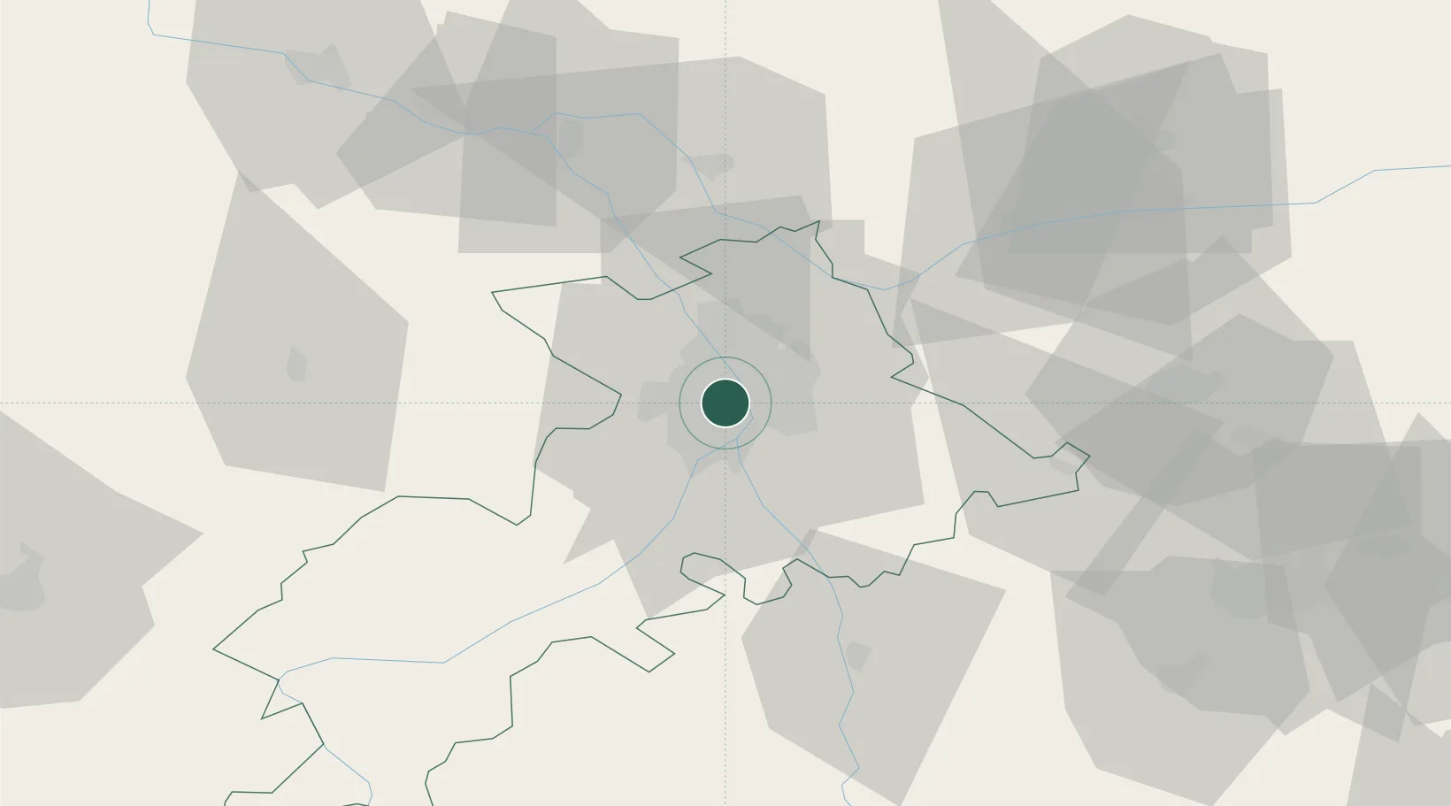
Location
Nearby Logistics Neighbours
Cities
- 1Saint-Cyprien/Toulouse4 km
- 2Portet-Saint-Simon6 km
- 3Roques7 km
- 4Villeneuve-Tolosane8 km
- 5Cornebarrieu9 km
Ports
- 1Port-La-Nouvelle150 km
- 2Port-Vendres184 km
- 3Sete188 km
- 4Rosas207 km
- 5Bordeaux211 km
Airports
Trade Zones
- 1ZFU Toulouse5 km
- 2ZFU Béziers150 km
- 3ZFU Perpignan157 km
- 4ZFU Montpellier198 km
- 5ZFU Hauts de Garonne209 km
DatabookThe Record of Consolidated Knowledge
France beyond logistics?