Large airport · France
Toulouse-Blagnac AirportLFBO
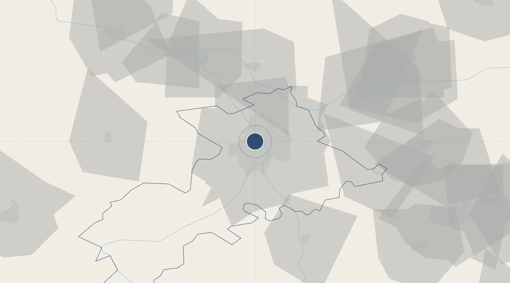
43.6291°, 1.3638°
11,483 ft
Longest runway
2
Runways
499 ft
Elevation
Runway & Layout

Radio Frequencies
ATIS
123.125 MHz
TWR
118.1 MHz
GND
121.9 MHz
CLD
121.7 MHz
CLNC DEL
APP
121.1 MHz
APP
125.175 MHz
TOULOUSE APP
AFIS
121.25 MHz
TOULOUSE INFO
Navaids
TOE NDB Toulouse 415 kHz
TOU VOR-DME Toulouse 117.70 MHz
TS NDB Toulouse 423 kHz
TW NDB Toulouse 406 kHz
Runways · 2
| Runway | Dimensions | Surface | True heading | Lit |
|---|---|---|---|---|
| 14R/32L | 11,483 × 148ft | Asphalt | 143° | ✓ |
| 14L/32R | 9,843 × 148ft | Asphalt | 143° | ✓ |
Airport Specifications
IATA code
TLS
ICAO code
LFBO
Airport class
Large airport
Scheduled service
Yes
Runway surface
Asphalt
Served city
Toulouse/Blagnac
Location
Nearby Logistics Neighbours
Airports
Cities
- 1Cornebarrieu4 km
- 2Beauzelle5 km
- 3Lardenne5 km
- 4Saint-Cyprien/Toulouse7 km
- 5Saint-Alban7 km
Ports
- 1Port-La-Nouvelle154 km
- 2Port-Vendres189 km
- 3Sete190 km
- 4Bordeaux206 km
- 5Rosas212 km
Trade Zones
- 1ZFU Toulouse7 km
- 2ZFU Béziers153 km
- 3ZFU Perpignan161 km
- 4ZFU Montpellier200 km
- 5ZFU Hauts de Garonne204 km
DatabookThe Record of Consolidated Knowledge
France beyond logistics?