Transport Functions
Rail
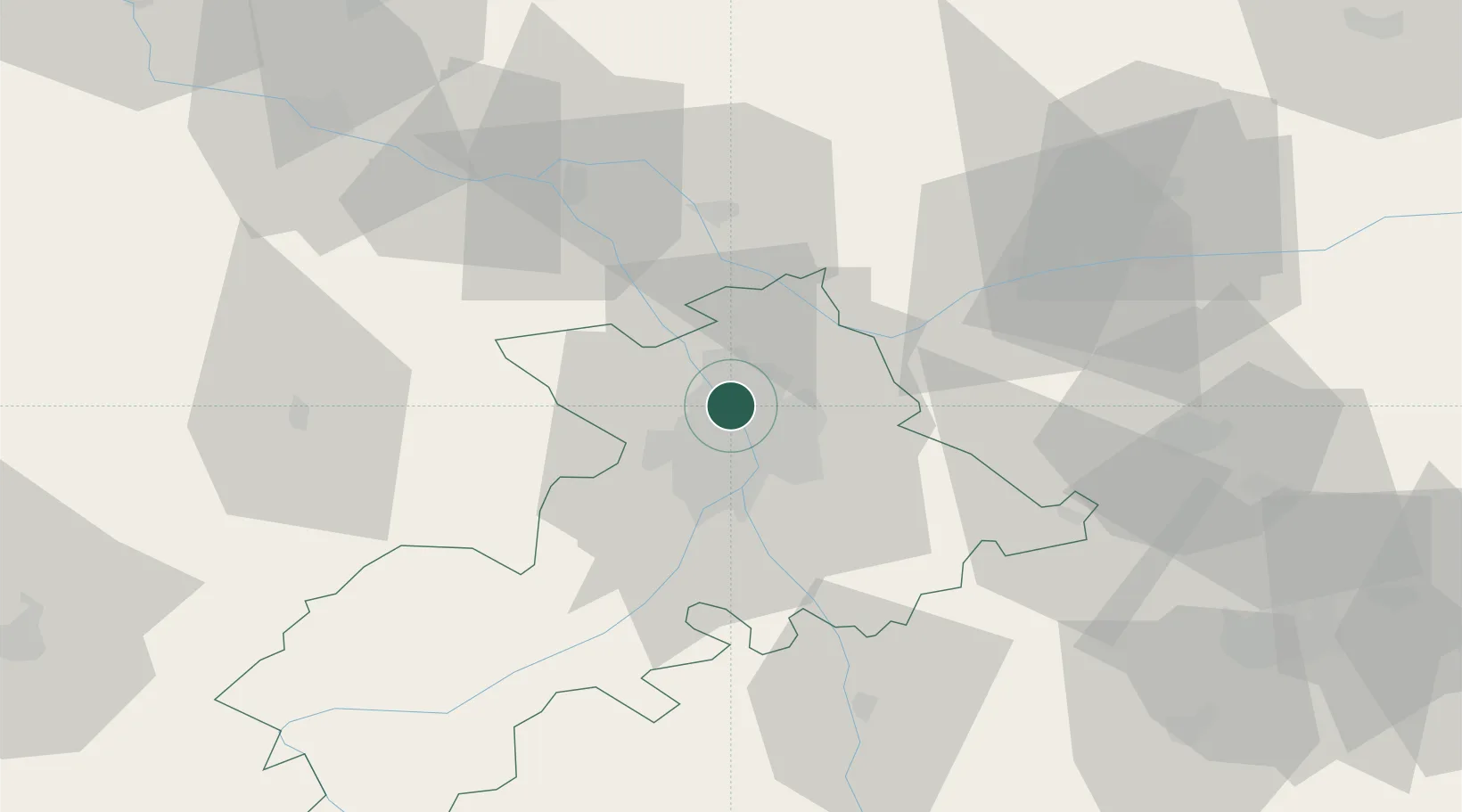
Hub Profile
Place type
Populated place
Region
Occitanie
Population
6,043
Time zone
Europe/Paris
Elevation
143 m
Location
Nearby Logistics Neighbours
Cities
- 1Saint-Alban2 km
- 2Seilh5 km
- 3Toulouse5 km
- 4Cornebarrieu6 km
- 5L'Union7 km
Ports
- 1Port-La-Nouvelle154 km
- 2Sete189 km
- 3Port-Vendres190 km
- 4Bordeaux205 km
- 5Rosas214 km
Airports
Trade Zones
- 1ZFU Toulouse8 km
- 2ZFU Béziers152 km
- 3ZFU Perpignan163 km
- 4ZFU Montpellier198 km
- 5ZFU Hauts de Garonne203 km
DatabookThe Record of Consolidated Knowledge
France beyond logistics?