Economic Revitalization Project · France
ZFU Béziers Active
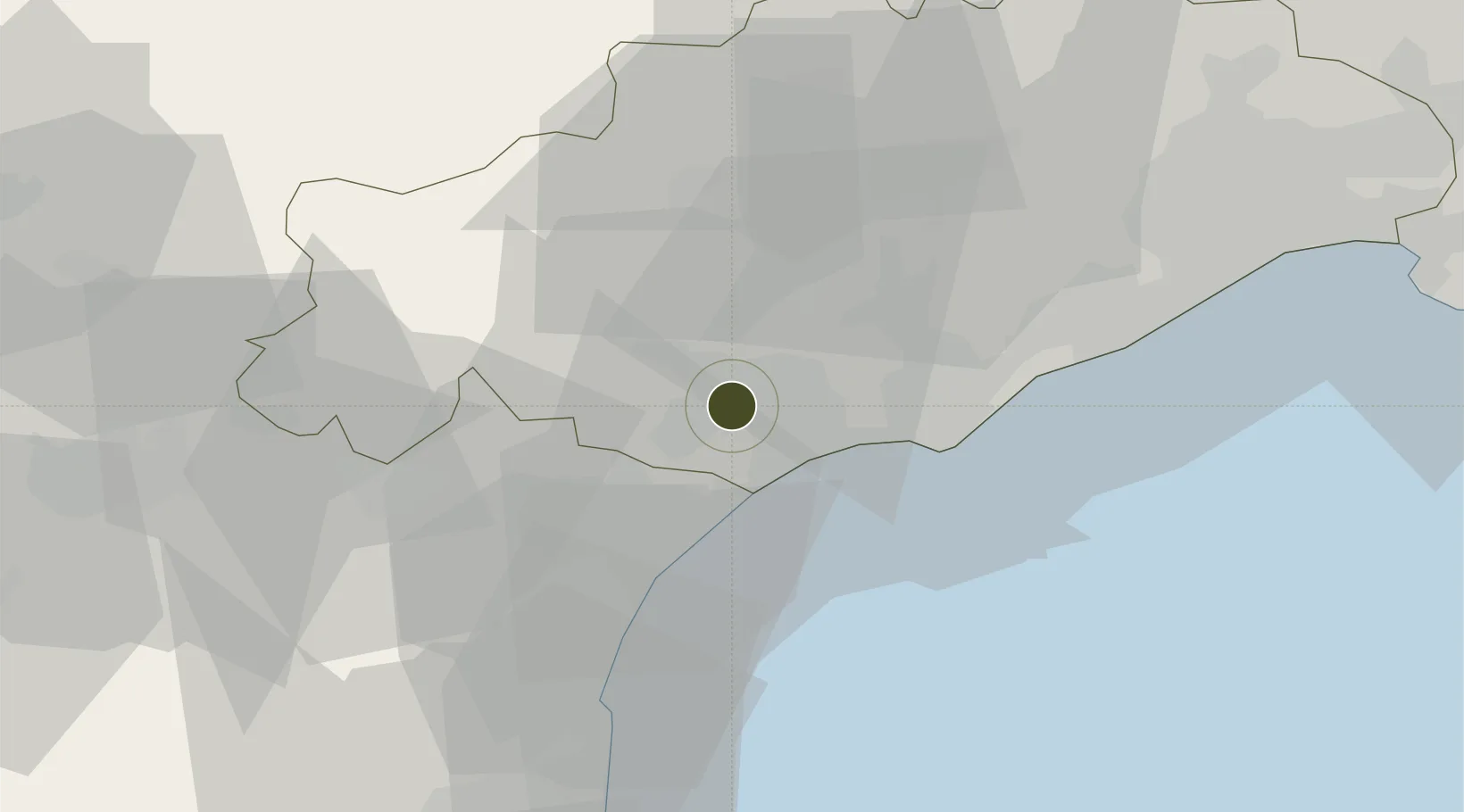
43.3355°, 3.2154°
249 ha
Zone area
37.4 km
Nearest port
11.3 km
Nearest airport
Gateway access
Zone profile
Zone type
Economic Revitalization Project
Region
Hérault
Status
Active
Management
Public
Operator
Ville de Béziers
Legal framework
Décret no 65-939 du 8 novembre 1965, Décret du 9 Octobre 2008
Location
Nearby Logistics Neighbours
Ports
- 1Port-La-Nouvelle37 km
- 2Sete40 km
- 3Port-Vendres91 km
- 4Rosas119 km
- 5Port Saint Louis Du Rhone130 km
Airports
Cities
- 1Béziers2 km
- 2Colombiers7 km
- 3Cers7 km
- 4Corneilhan8 km
- 5Vendres8 km
Trade Zones
- 1ZFU Montpellier59 km
- 2ZFU Perpignan75 km
- 3ZFU Nîmes106 km
- 4ZFU Avignon145 km
- 5ZFU Toulouse146 km
DatabookThe Record of Consolidated Knowledge
France beyond logistics?