Seaport · France

Port-VendresFRPOV

42.5167°, 3.1167°
7.9 m
Channel depth
12.4
Port liner connectivity
Port-Vendres is also a UN/LOCODE logistics hub →

Channel & Berth Profile

SEA LEVEL (CD)CHANNEL BEDChannel · 7.9 mCargo pier · 7.9 mAnchorage · 23.2 m
NGA World Port Index

Pilotage, Tugs & Services

Pilotage compulsoryYES
Pilotage availableYES
Tug assistanceNO
Salvage tugsNO
Potable waterYES
Diesel bunkersYES
Garbage disposalYES
NGA World Port Index

Facilities & Capabilities

Container
Ro-Ro
Liquid bulk
Dry bulk
Oil terminal
Break bulk
Dry dockNO
RepairsNO
BunkeringYES
Rail linkYES
Dangerous cargo
ISPS security
NGA World Port Index

Harbour Specifications

Harbour size
Small
NGA World Port Index
Harbour type
Coastal (Breakwater)
NGA World Port Index
Shelter
Good
NGA World Port Index
Water body
Gulf of Lion; Mediterranean Sea; North Atlantic Ocean
NGA World Port Index
Pilotage
Yes
NGA World Port Index

Liner Connectivity

12.4
PLSCI

Port Liner Shipping Connectivity Index for Port-Vendres, as published by UNCTAD for the latest available quarter. Higher values indicate stronger scheduled liner-shipping integration.

Shown relative to the highest per-port PLSCI in the dataset (1,657.9).
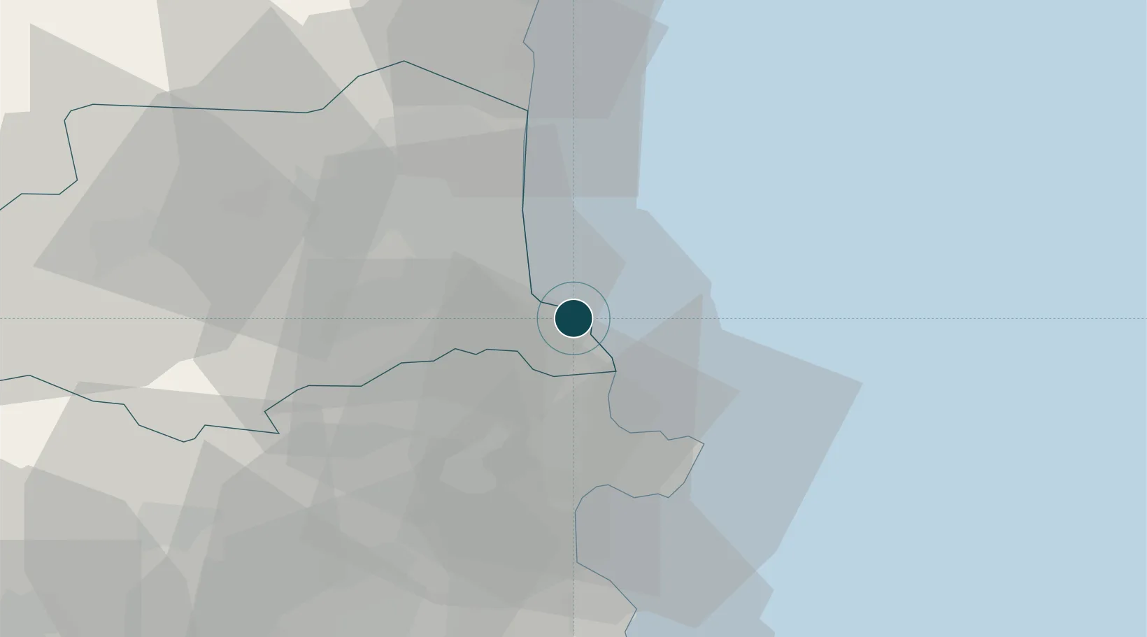
UNCTAD · Port Liner Shipping Connectivity Index

Location

Location of FRPOV
Natural Earth 10m (public domain) · Pyrénées-Orientales · FRPOV · 42.52, 3.12GoogleOSMYandex

Nearby Logistics Neighbours

Ports
  1. 1Rosas28 km
  2. 2Port-La-Nouvelle56 km
  3. 3Palamos76 km
  4. 4San Feliu De Guixols82 km
  5. 5Sete109 km
Nearest neighbours — logibook spatial index (haversine) over the source coordinates
Cities
  1. 1Collioure3 km
  2. 2Cerbère9 km
  3. 3Port-Bou10 km
  4. 4Palau-del-Vidre14 km
  5. 5Sorède14 km
Nearest neighbours — logibook spatial index (haversine) over the source coordinates
Airports
  1. 1Perpignan-Rivesaltes (Llabanère) Airport32 km
  2. 2Girona-Costa Brava Airport74 km
  3. 3Folgueroles Airfield92 km
  4. 4Béziers Vias airport92 km
  5. 5Carcassonne Salvaza Airport102 km
Nearest neighbours — logibook spatial index (haversine) over the source coordinates
Trade Zones
  1. 1ZFU Perpignan27 km
  2. 2ZFU Béziers91 km
  3. 3ZFU Montpellier135 km
  4. 4Zona Franca de Barcelona155 km
  5. 5ZFU Nîmes176 km
Nearest neighbours — logibook spatial index (haversine) over the source coordinates
DatabookThe Record of Consolidated Knowledge
France beyond logistics?
Browse databook

All Sources

Portsthe NGA World Port Index
Public domain (US gov)
Logistics performanceUNCTAD
CC BY 3.0 IGO
AirportsOurAirports
Public domain
LocationsUN/LOCODE
UN/LOCODE — free
Trade Zonesthe World Bank SEZ database
CC BY 4.0
Trade ZonesOpen Zone Map
CC BY
← France ports