Economic Revitalization Project · France

ZFU Montpellier Active
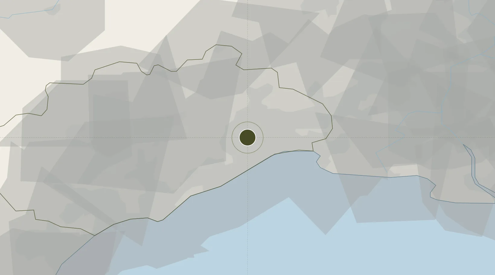
43.6054°, 3.8460°
137 ha
Zone area
25.7 km
Nearest port
10.0 km
Nearest airport

Gateway access

Nearest neighbours — logibook spatial index (haversine) over the source coordinates

Zone profile

Zone type
Economic Revitalization Project
Open Zone Map
Region
Hérault
Open Zone Map
Status
Active
Open Zone Map
Management
Public
Open Zone Map
Operator
Ville de Montpellier
Open Zone Map
Legal framework
Décret no 65-939 du 8 novembre 1965, Décret du 9 Octobre 2008
Open Zone Map

Location

Location of ozm-1967
Natural Earth 10m (public domain) · Hérault · ozm-1967 · 43.61, 3.85GoogleOSMYandex

Nearby Logistics Neighbours

Ports
  1. 1Sete26 km
  2. 2Port Saint Louis Du Rhone82 km
  3. 3Fos86 km
  4. 4Port-La-Nouvelle91 km
  5. 5Port-de-Bouc95 km
Nearest neighbours — logibook spatial index (haversine) over the source coordinates
Airports
  1. 1Montpellier-Méditerranée Airport10 km
  2. 2Nîmes-Arles-Camargue Airport49 km
  3. 3Béziers Vias airport51 km
  4. 4Aérodrome d'Alès Cévennes57 km
  5. 5Istres-Le Tubé Air Base87 km
Nearest neighbours — logibook spatial index (haversine) over the source coordinates
Cities
  1. 1Juvignac4 km
  2. 2Clapiers6 km
  3. 3Grabels7 km
  4. 4Jacou8 km
  5. 5Fabrègues9 km
Nearest neighbours — logibook spatial index (haversine) over the source coordinates
Trade Zones
  1. 1ZFU Nîmes47 km
  2. 2ZFU Béziers59 km
  3. 3ZFU Avignon86 km
  4. 4ZFU Saint-Barthélémy, Le Canet, Delorme-Paternelle118 km
  5. 5ZFU Marseille 15e et 16e126 km
Nearest neighbours — logibook spatial index (haversine) over the source coordinates
DatabookThe Record of Consolidated Knowledge
France beyond logistics?
Browse databook

All Sources

Trade ZonesOpen Zone Map
CC BY
Portsthe NGA World Port Index
Public domain (US gov)
AirportsOurAirports
Public domain
LocationsUN/LOCODE
UN/LOCODE — free
← France trade zones