UN/LOCODE hub · France
FRAZT
Auzeville-Tolosane
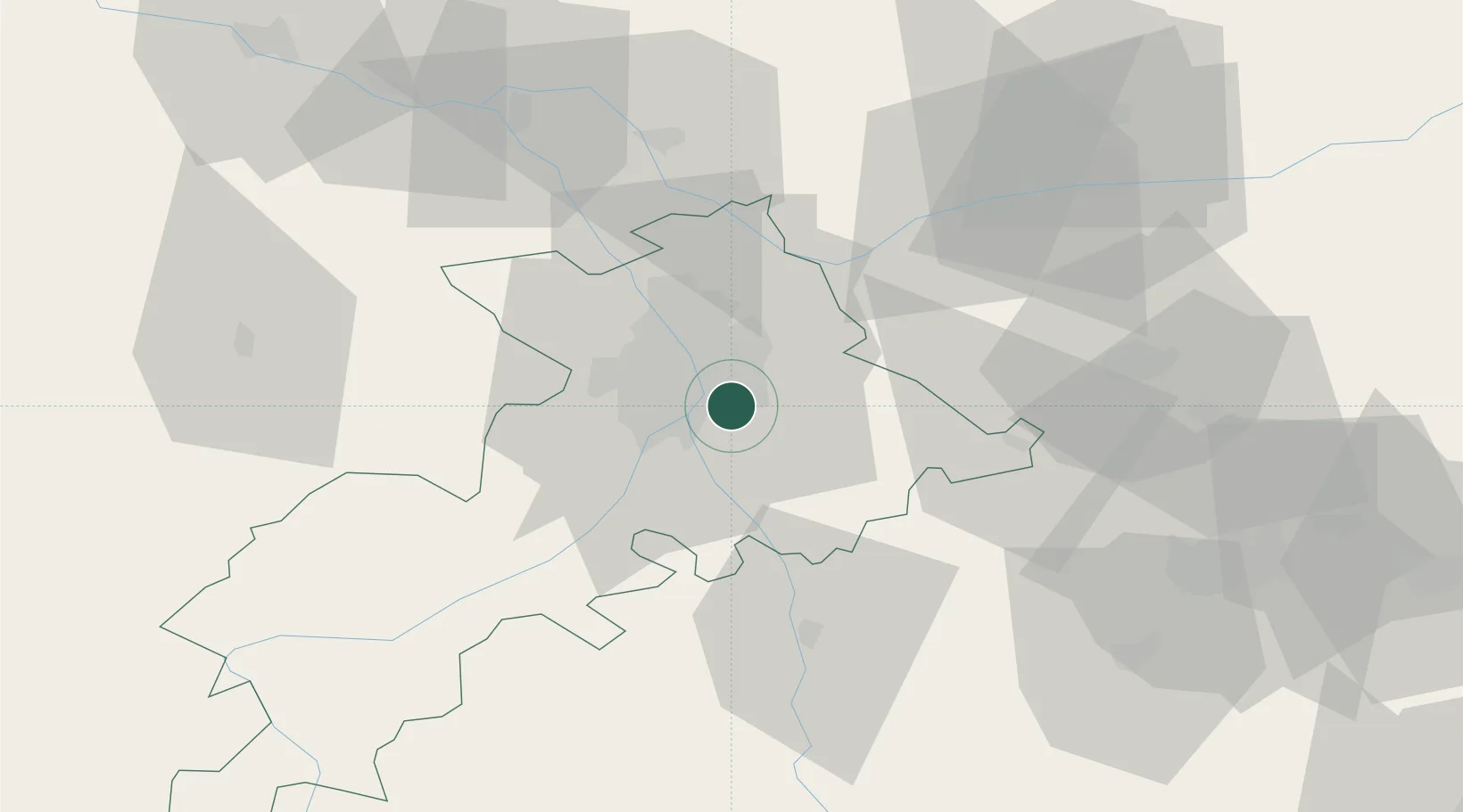
43.5333°, 1.4833°
2,933
Population
1
Transport functions
Transport Functions
Multimodal
Hub Profile
Place type
Populated place
Region
Occitanie
Population
2,933
Time zone
Europe/Paris
Elevation
194 m
Location
Nearby Logistics Neighbours
Cities
- 1Labège4 km
- 2Pompertuzat5 km
- 3Deyme7 km
- 4Lauzerville7 km
- 5Belberaud8 km
Ports
- 1Port-La-Nouvelle141 km
- 2Port-Vendres174 km
- 3Sete180 km
- 4Rosas198 km
- 5Bordeaux221 km
Airports
Trade Zones
- 1ZFU Toulouse9 km
- 2ZFU Béziers142 km
- 3ZFU Perpignan147 km
- 4ZFU Montpellier191 km
- 5ZFU Hauts de Garonne219 km
DatabookThe Record of Consolidated Knowledge
France beyond logistics?