UN/LOCODE hub · France
FRPSS

Portet-Saint-Simon

43.5333°, 1.3833°
1
Transport functions

Transport Functions

Rail
UN/LOCODE

Hub Profile

Region
31
GeoNames

Location

Location of FRPSS
Natural Earth 10m (public domain) · 31 · FRPSS · 43.53, 1.38GoogleOSMYandex

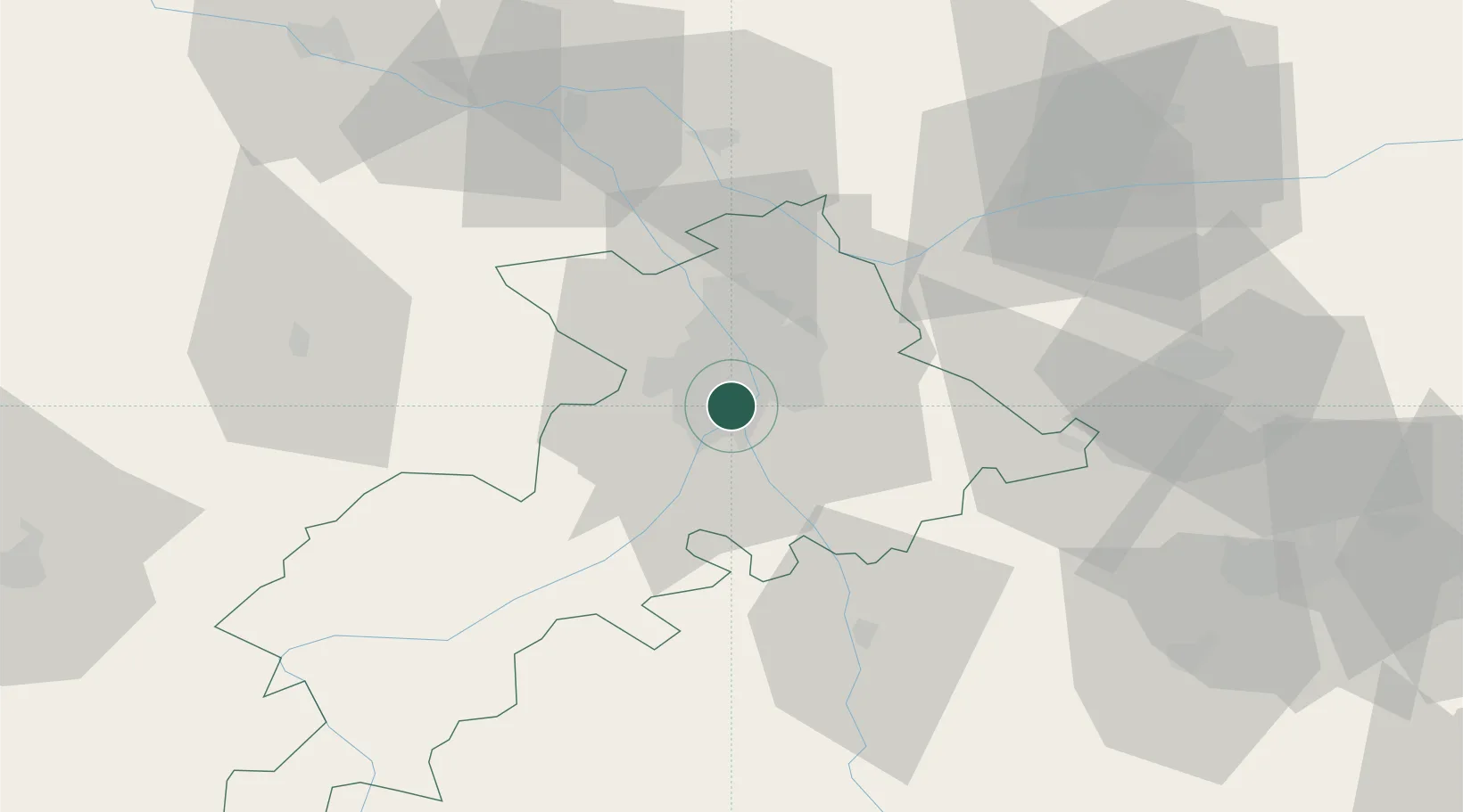
Nearby Logistics Neighbours

Cities
  1. 1Roques2 km
  2. 2Villeneuve-Tolosane4 km
  3. 3Pins-Justaret6 km
  4. 4Lardenne6 km
  5. 5Auzeville-Tolosane8 km
Nearest neighbours — logibook spatial index (haversine) over the source coordinates
Ports
  1. 1Port-La-Nouvelle148 km
  2. 2Port-Vendres181 km
  3. 3Sete188 km
  4. 4Rosas203 km
  5. 5Bordeaux215 km
Nearest neighbours — logibook spatial index (haversine) over the source coordinates
Airports
  1. 1Toulouse-Francazal (BA 101) Air Base2 km
  2. 2Toulouse-Blagnac Airport11 km
  3. 3Aérodrome de Saint-Girons - Antichan63 km
  4. 4Auch Gers Airfield65 km
  5. 5Albi Le Sequestre airport72 km
Nearest neighbours — logibook spatial index (haversine) over the source coordinates
Trade Zones
  1. 1ZFU Toulouse9 km
  2. 2ZFU Béziers150 km
  3. 3ZFU Perpignan154 km
  4. 4ZFU Montpellier199 km
  5. 5ZFU Hauts de Garonne213 km
Nearest neighbours — logibook spatial index (haversine) over the source coordinates
DatabookThe Record of Consolidated Knowledge
France beyond logistics?
Browse databook

All Sources

LocationsUN/LOCODE
UN/LOCODE — free
Portsthe NGA World Port Index
Public domain (US gov)
AirportsOurAirports
Public domain
Trade Zonesthe World Bank SEZ database
CC BY 4.0
Trade ZonesOpen Zone Map
CC BY
← France locations