Medium airport · France

Auch Gers AirfieldLFDH
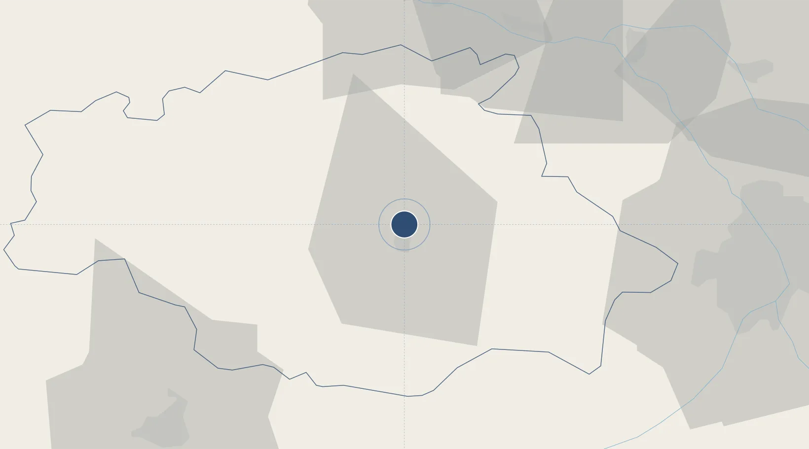
43.6836°, 0.5997°
6,233 ft
Longest runway
2
Runways
411 ft
Elevation

Runway & Layout

Auch Gers Airfield runway & taxiway layout
Runway & taxiway layout — OpenStreetMap (ODbL) / OurAirports

Radio Frequencies

APP
121.175 MHz
PYRENEES APP
AFIS
123 MHz
AUCH INFO
SIV
126.625 MHz
Pyrénées Information
OurAirports

Runways · 2

RunwayDimensions SurfaceTrue headingLit
18/36 6,233 × 98ft Concrete 184°
36/18 6,233 × 98ft Asphalt 004°
OurAirports

Airport Specifications

ICAO code
LFDH
OurAirports
Airport class
Medium airport
OurAirports
Scheduled service
No
OurAirports
Runway surface
Concrete
OurAirports
Served city
Auch
OurAirports

Location

Location of LFDH
Natural Earth 10m (public domain) · Gers · LFDH · 43.68, 0.60GoogleOSMYandex

Nearby Logistics Neighbours

Airports
  1. 1Agen La Garenne airport55 km
  2. 2Toulouse-Blagnac Airport62 km
  3. 3Toulouse-Francazal (BA 101) Air Base64 km
  4. 4Tarbes-Lourdes-Pyrénées Airport75 km
  5. 5Aérodrome de Saint-Girons - Antichan86 km
Nearest neighbours — logibook spatial index (haversine) over the source coordinates
Cities
  1. 1Auch4 km
  2. 2Roquelaure5 km
  3. 3Mirepoix8 km
  4. 4Réjaumont15 km
  5. 5L'Isle-de-Noé17 km
Nearest neighbours — logibook spatial index (haversine) over the source coordinates
Ports
  1. 1Bordeaux161 km
  2. 2Bayonne168 km
  3. 3Ambes174 km
  4. 4Blaye190 km
  5. 5Pauillac200 km
Nearest neighbours — logibook spatial index (haversine) over the source coordinates
Trade Zones
  1. 1ZFU Toulouse68 km
  2. 2ZFU Hauts de Garonne158 km
  3. 3Port de Bordeaux164 km
  4. 4Depósito Franco de Pasajes (Guipúzcoa)207 km
  5. 5ZFU Béziers215 km
Nearest neighbours — logibook spatial index (haversine) over the source coordinates
DatabookThe Record of Consolidated Knowledge
France beyond logistics?
Browse databook

All Sources

AirportsOurAirports
Public domain
Portsthe NGA World Port Index
Public domain (US gov)
LocationsUN/LOCODE
UN/LOCODE — free
Trade Zonesthe World Bank SEZ database
CC BY 4.0
Trade ZonesOpen Zone Map
CC BY
InfrastructureOpenStreetMap
ODbL 1.0
← France airports