Transport Functions
Rail
Road
Hub Profile
Place type
District seat
Region
Grand Est
Population
5,387
Time zone
Europe/Paris
Elevation
170 m
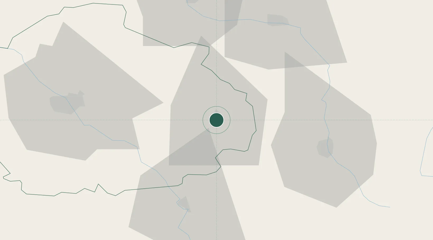
Location
Nearby Logistics Neighbours
Cities
- 1Arrentières3 km
- 2Baroville4 km
- 3Voigny5 km
- 4Engente5 km
- 5Meurville7 km
Ports
- 1Bruxelles294 km
- 2Ghent323 km
- 3Antwerpen332 km
- 4Bruges350 km
- 5Nieuwpoort352 km
Airports
Trade Zones
DatabookThe Record of Consolidated Knowledge
France beyond logistics?