Transport Functions
Multimodal
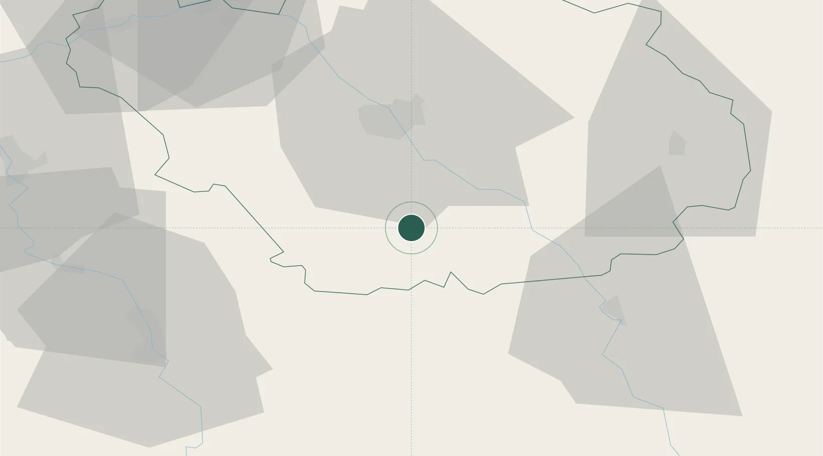
Hub Profile
Place type
Populated place
Region
Grand Est
Population
1,109
Time zone
Europe/Paris
Elevation
147 m
Location
Nearby Logistics Neighbours
Cities
- 1Machy10 km
- 2Avirey-Lingey13 km
- 3Vaudes13 km
- 4Chamoy14 km
- 5Bagneux-la-Fosse15 km
Ports
- 1Bruxelles312 km
- 2Ghent335 km
- 3Antwerpen351 km
- 4Nieuwpoort355 km
- 5Gravelines357 km
Airports
- 1Troyes-Barberey Airport30 km
- 2Auxerre Branches airport53 km
- 3Chalons Vatry airport79 km
- 4Saint-Dizier – Robinson Air Base85 km
- 5Dijon Longvic airport114 km
Trade Zones
DatabookThe Record of Consolidated Knowledge
France beyond logistics?