Transport Functions
Multimodal
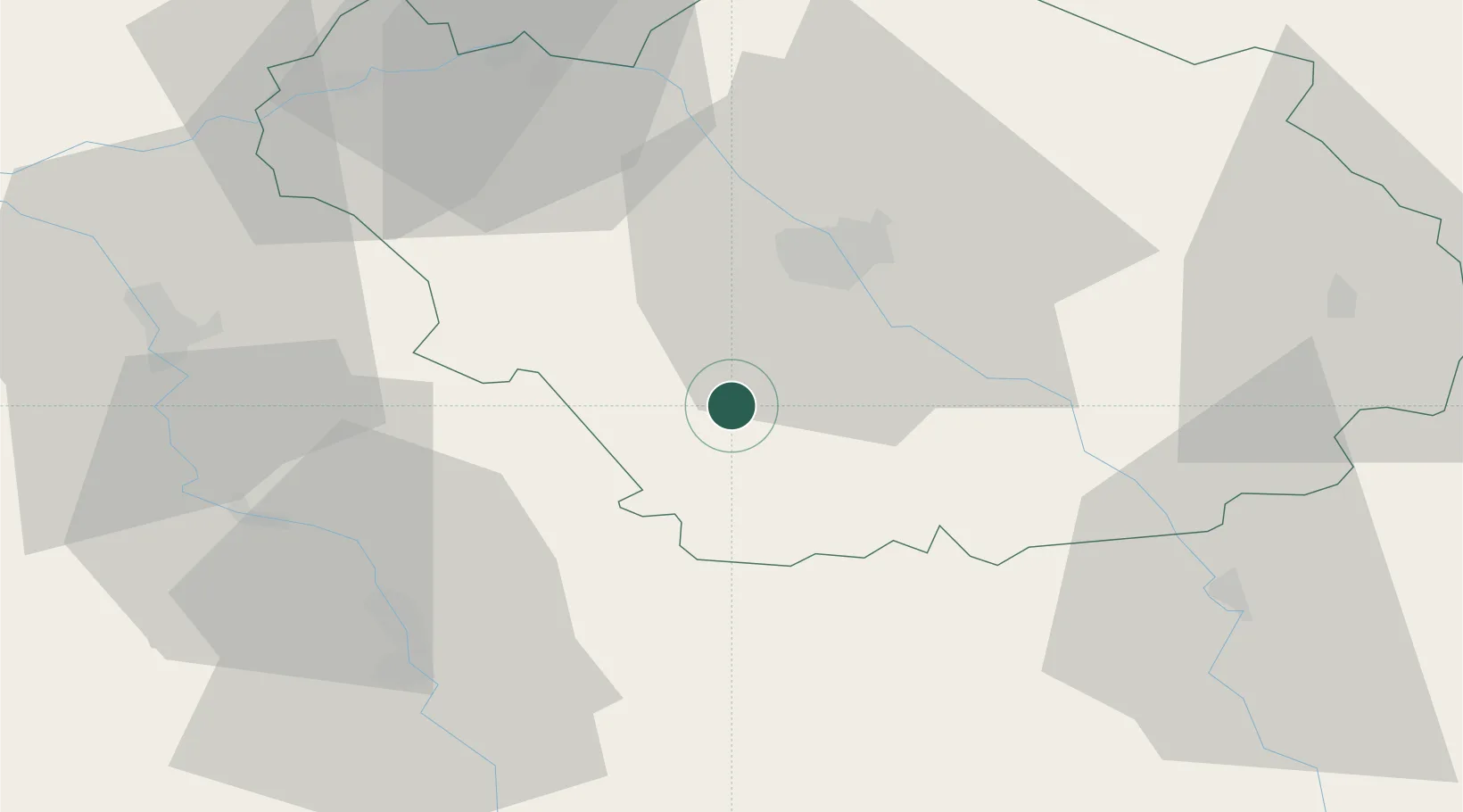
Hub Profile
Place type
Populated place
Region
Grand Est
Population
435
Time zone
Europe/Paris
Elevation
155 m
Location
Nearby Logistics Neighbours
Cities
- 1Machy7 km
- 2Chaource14 km
- 3Bernon15 km
- 4Moussey15 km
- 5Saint-Thibault15 km
Ports
- 1Port Of Rouen259 km
- 2Saint-Valery-Sur-Somme286 km
- 3Le Treport288 km
- 4Dieppe292 km
- 5Bruxelles307 km
Airports
Trade Zones
DatabookThe Record of Consolidated Knowledge
France beyond logistics?