Transport Functions
Road
Multimodal
Hub Profile
Place type
Populated place
Region
Centre-Val de Loire
Population
256
Time zone
Europe/Paris
Elevation
101 m
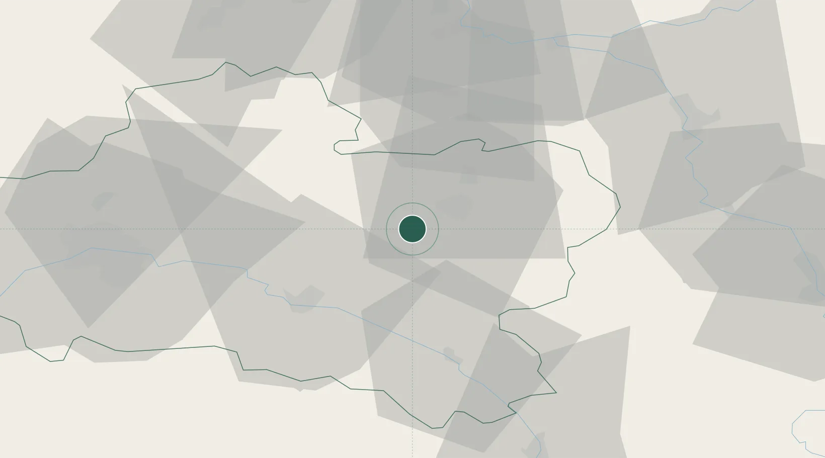
Location
Nearby Logistics Neighbours
Cities
- 1Montargis9 km
- 2Cepoy13 km
- 3Quiers-sur-Bézonde16 km
- 4Châtillon-Coligny22 km
- 5Dordives23 km
Ports
- 1Port Of Rouen203 km
- 2Honfleur241 km
- 3Deauville245 km
- 4Dieppe248 km
- 5Port Of Le Havre251 km
Airports
- 1Orléans-Bricy (BA 123) Air Base65 km
- 2Auxerre Branches airport65 km
- 3Melun-Villaroche Airfield73 km
- 4Paris-Orly Airport88 km
- 5Châteaudun Airfield94 km
Trade Zones
- 1ZFU Montereau-Fault-Yonne54 km
- 2ZFU Sens55 km
- 3ZFU Orléans60 km
- 4ZFU Melun66 km
- 5ZFU Corbeil-Evry74 km
DatabookThe Record of Consolidated Knowledge
France beyond logistics?