Channel & Berth Profile
Pilotage, Tugs & Services
Pilotage compulsoryYES
Pilotage availableYES
Pilotage advisableYES
Tug assistanceYES
Shore powerYES
Potable waterYES
Diesel bunkersYES
MedicalYES
Garbage disposalYES
Facilities & Capabilities
Container—
Ro-Ro—
Liquid bulk—
Dry bulk—
Oil terminal—
Break bulk—
Dry dockNO
RepairsNO
BunkeringYES
Rail linkYES
Dangerous cargo—
ISPS security—
Harbour Specifications
Harbour size
Small
Harbour type
Canal or Lake
Shelter
Good
Water body
English Channel; North Atlantic Ocean
Tidal range
9 m
Overhead limit
Yes
Pilotage
Yes
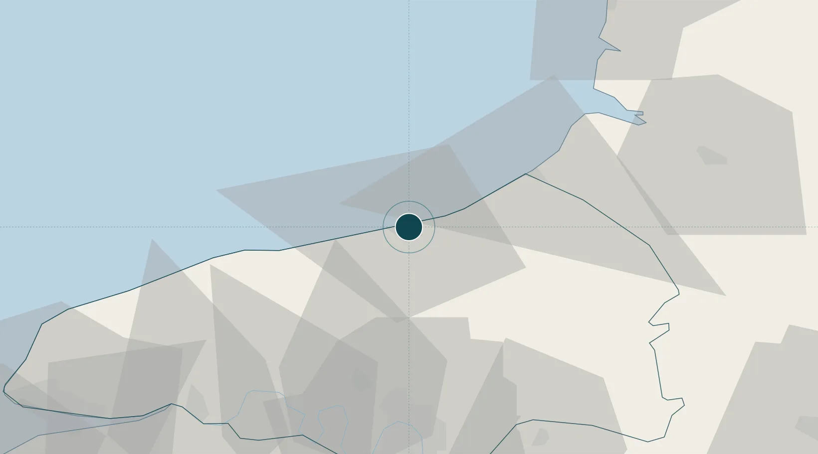
Location
Nearby Logistics Neighbours
Ports
- 1Le Treport25 km
- 2Saint-Valery-Sur-Somme47 km
- 3Port Of Rouen54 km
- 4Fecamp55 km
- 5Honfleur85 km
Cities
- 1Rouxmesnil-Bouteilles2 km
- 2Martin-Église6 km
- 3Anneville-sur-Scie11 km
- 4Manéhouville11 km
- 5Quiberville13 km
Airports
Trade Zones
- 1ZFU Rouen Bihorel52 km
- 2ZFU Amiens75 km
- 3ZFU Le Havre84 km
- 4ZFU Beauvais89 km
- 5ZFU Évreux101 km
DatabookThe Record of Consolidated Knowledge
France beyond logistics?