UN/LOCODE hub · France
FRZAW
Quiers-sur-Bézonde
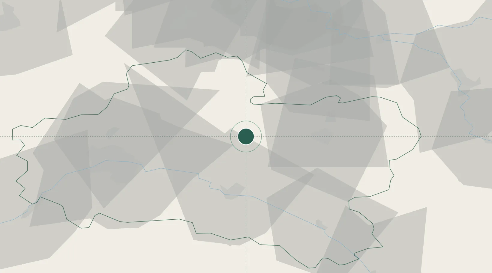
48.0000°, 2.4333°
1,039
Population
1
Transport functions
Transport Functions
Multimodal
Hub Profile
Place type
Populated place
Region
Centre-Val de Loire
Population
1,039
Time zone
Europe/Paris
Elevation
112 m
Location
Nearby Logistics Neighbours
Cities
- 1Lombreuil16 km
- 2Saint-Martin-d'Abbat21 km
- 3Cepoy22 km
- 4Arville22 km
- 5Montargis22 km
Ports
- 1Port Of Rouen190 km
- 2Honfleur226 km
- 3Deauville230 km
- 4Dieppe237 km
- 5Port Of Le Havre237 km
Airports
- 1Orléans-Bricy (BA 123) Air Base50 km
- 2Melun-Villaroche Airfield70 km
- 3Châteaudun Airfield79 km
- 4Paris-Orly Airport81 km
- 5Auxerre Branches airport81 km
Trade Zones
- 1ZFU Orléans46 km
- 2ZFU Montereau-Fault-Yonne58 km
- 3ZFU Melun62 km
- 4ZFU Sens66 km
- 5ZFU Corbeil-Evry66 km
DatabookThe Record of Consolidated Knowledge
France beyond logistics?