Transport Functions
Rail
Road
Hub Profile
Place type
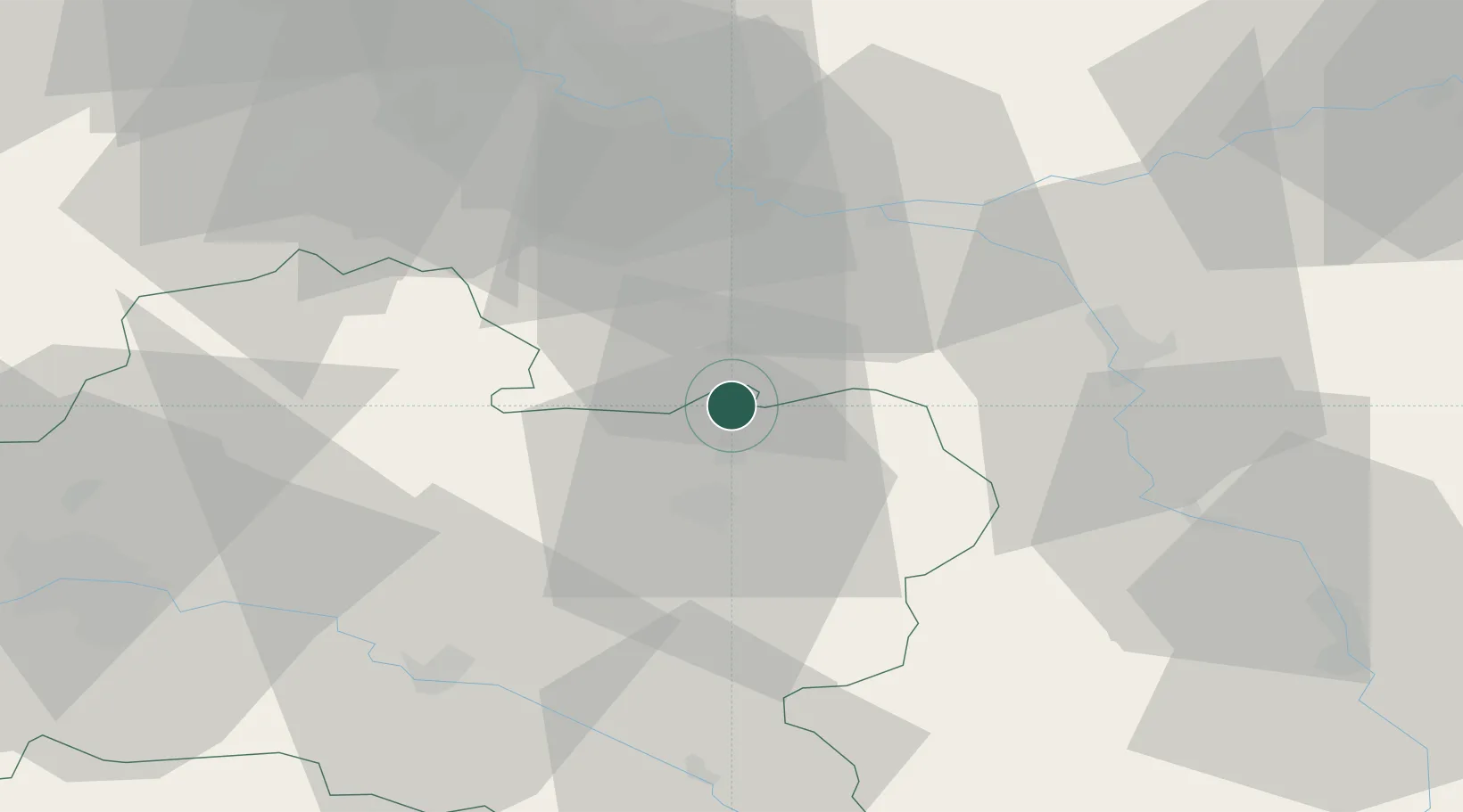
Populated place
Region
Centre-Val de Loire
Population
2,749
Time zone
Europe/Paris
Elevation
71 m
Location
Nearby Logistics Neighbours
Cities
- 1Château-Landon5 km
- 2Cepoy10 km
- 3Le Bignon-Mirabeau11 km
- 4Bagneaux-sur-Loing13 km
- 5Nanteau-sur-Lunain14 km
Ports
- 1Port Of Rouen192 km
- 2Dieppe235 km
- 3Honfleur235 km
- 4Le Treport238 km
- 5Deauville240 km
Airports
Trade Zones
- 1ZFU Montereau-Fault-Yonne31 km
- 2ZFU Sens38 km
- 3ZFU Melun46 km
- 4ZFU Corbeil-Evry57 km
- 5ZFU Epinay-sous-Sénart65 km
DatabookThe Record of Consolidated Knowledge
France beyond logistics?