Transport Functions
Port
Rail
Hub Profile
Place type
District seat
Region
Centre-Val de Loire
Population
17,457
Time zone
Europe/Paris
Elevation
90 m
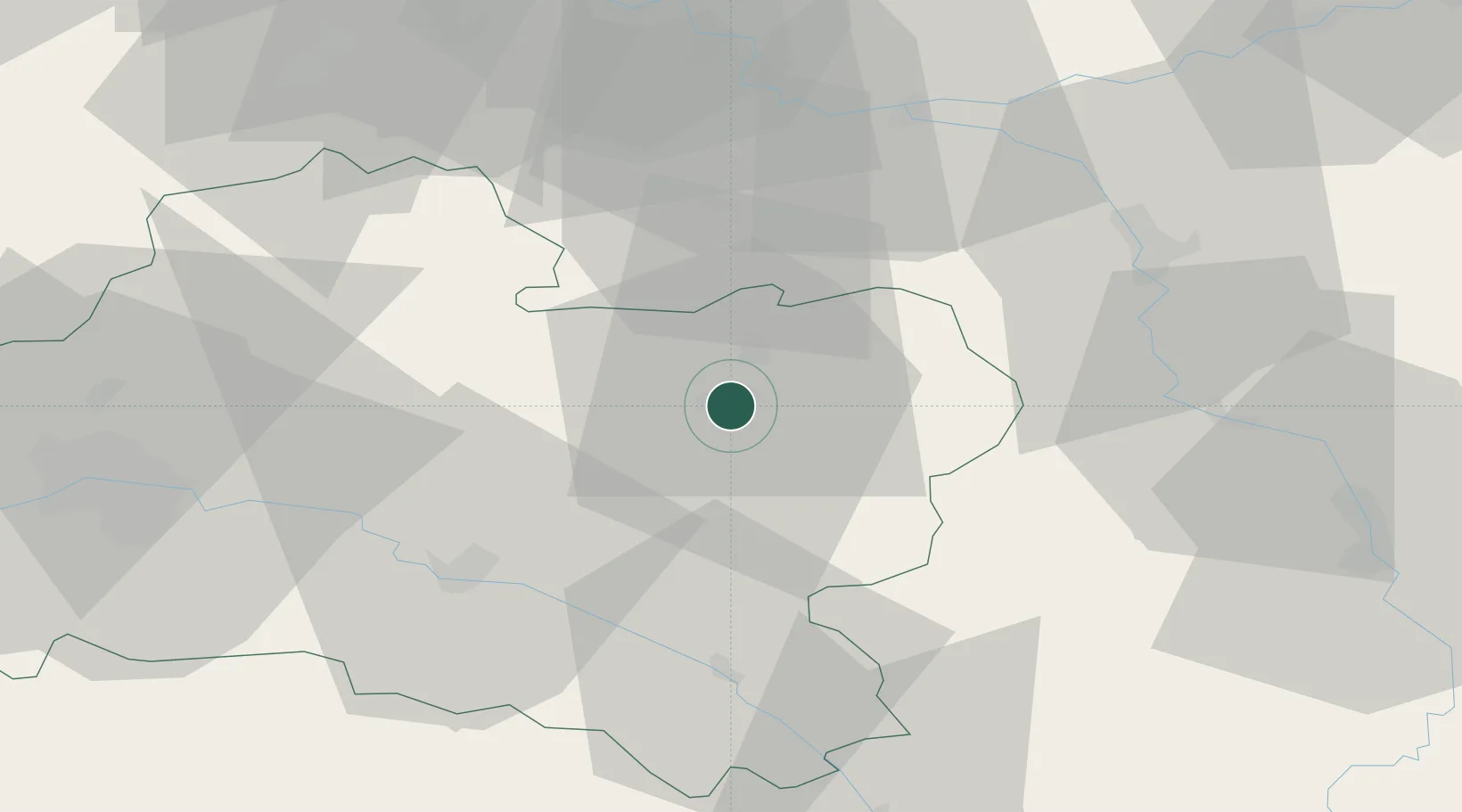
Location
Nearby Logistics Neighbours
Cities
- 1Cepoy6 km
- 2Lombreuil9 km
- 3Dordives15 km
- 4Château-Landon17 km
- 5Le Bignon-Mirabeau22 km
Ports
- 1Port Of Rouen202 km
- 2Honfleur243 km
- 3Dieppe246 km
- 4Deauville247 km
- 5Le Treport251 km
Airports
Trade Zones
- 1ZFU Sens45 km
- 2ZFU Montereau-Fault-Yonne46 km
- 3ZFU Melun61 km
- 4ZFU Orléans68 km
- 5ZFU Corbeil-Evry70 km
DatabookThe Record of Consolidated Knowledge
France beyond logistics?