UN/LOCODE hub · France
FRTCJ
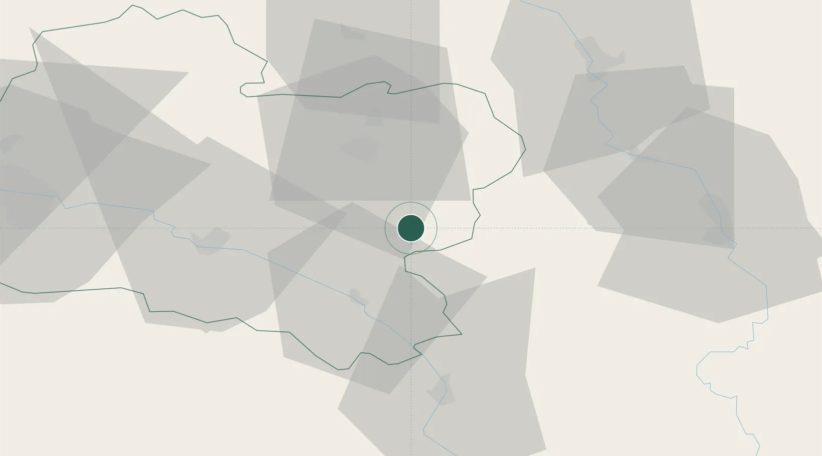
Châtillon-Coligny
47.8167°, 2.8500°
1,942
Population
2
Transport functions
Transport Functions
Port
Road
Hub Profile
Place type
Populated place
Region
Centre-Val de Loire
Population
1,942
Time zone
Europe/Paris
Elevation
125 m
Location
Nearby Logistics Neighbours
Cities
- 1Rogny-les-Sept-Écluses10 km
- 2La Bussière11 km
- 3Saint-Privé19 km
- 4Lombreuil22 km
- 5Montargis22 km
Ports
- 1Port Of Rouen224 km
- 2Honfleur263 km
- 3Deauville267 km
- 4Dieppe269 km
- 5Le Treport273 km
Airports
- 1Auxerre Branches airport48 km
- 2Orléans-Bricy (BA 123) Air Base83 km
- 3Avord (BA 702) Air Base86 km
- 4Melun-Villaroche Airfield89 km
- 5Bourges airport92 km
Trade Zones
- 1ZFU Sens52 km
- 2ZFU Montereau-Fault-Yonne64 km
- 3ZFU Orléans76 km
- 4ZFU Melun82 km
- 5ZFU Bourges91 km
DatabookThe Record of Consolidated Knowledge
France beyond logistics?