Large airport · France

Paris-Orly AirportLFPO
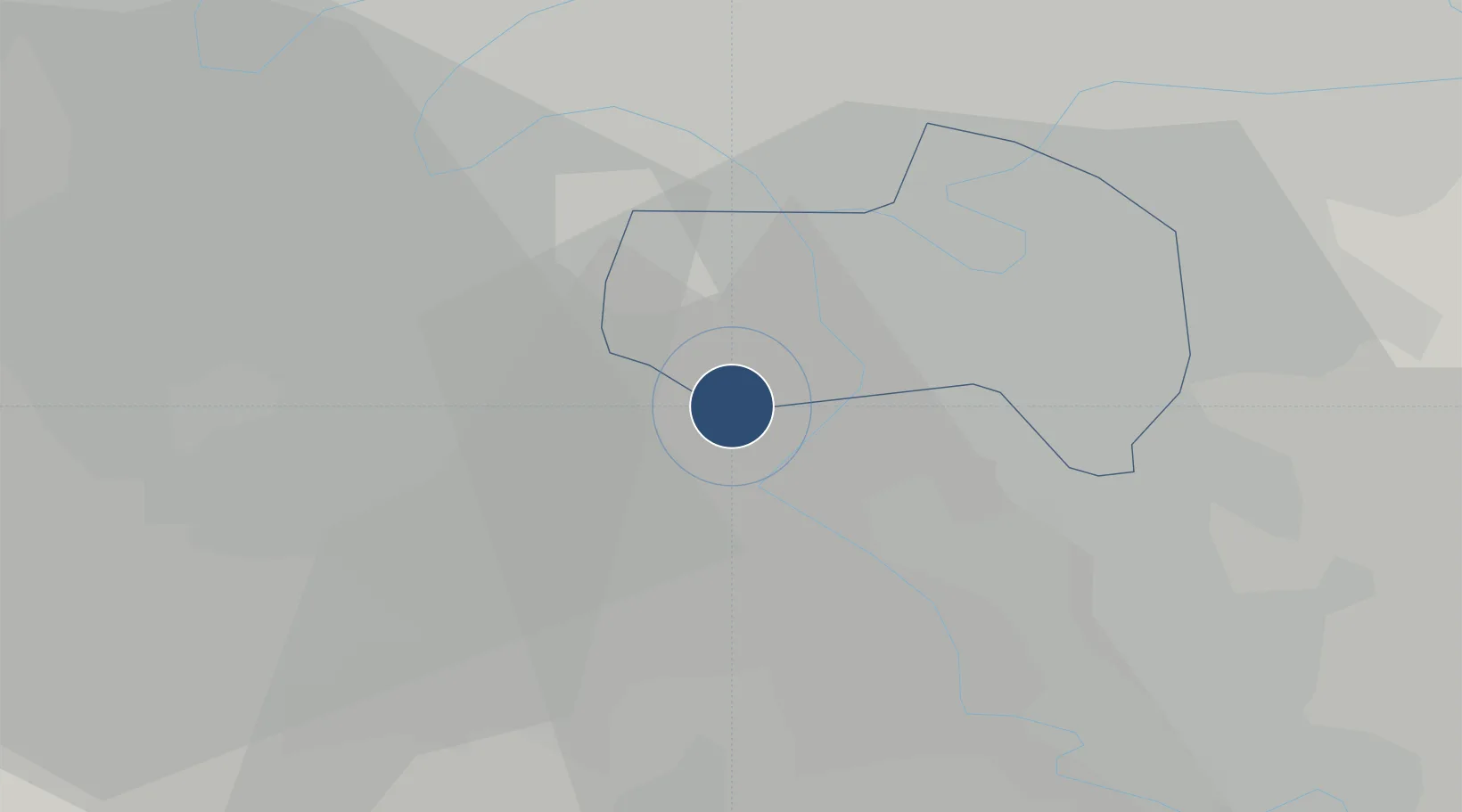
48.7233°, 2.3794°
11,975 ft
Longest runway
3
Runways
291 ft
Elevation

Runway & Layout

Paris-Orly Airport runway & taxiway layout
Runway & taxiway layout — OpenStreetMap (ODbL) / OurAirports

Radio Frequencies

ATIS
131.35 MHz
TWR
118.7 MHz
GND
121.7 MHz
APP
123.875 MHz
DEP
127.75 MHz
PFLT
121.05 MHz
PREFLIGHT
OurAirports

Navaids

OL VOR-DME Orly 111.20 MHz
OurAirports

Runways · 3

RunwayDimensions SurfaceTrue headingLit
06/24 11,975 × 148ft Asphalt 062°
07/25 10,892 × 148ft Concrete 074°
02/20 7,874 × 197ft Concrete 018°
OurAirports

Airport Specifications

IATA code
ORY
OurAirports
ICAO code
LFPO
OurAirports
Airport class
Large airport
OurAirports
Scheduled service
Yes
OurAirports
Runway surface
Asphalt
OurAirports
Served city
Paris (Orly, Val-de-Marne)
OurAirports

Location

Location of LFPO
Natural Earth 10m (public domain) · Val-de-Marne · LFPO · 48.72, 2.38GoogleOSMYandex

Nearby Logistics Neighbours

Airports
  1. 1Vélizy-Villacoublay Air Base14 km
  2. 2Toussus-le-Noble Airport20 km
  3. 3Melun-Villaroche Airfield25 km
  4. 4Paris-Le Bourget International Airport27 km
  5. 5Charles de Gaulle International Airport34 km
Nearest neighbours — logibook spatial index (haversine) over the source coordinates
Cities
  1. 1Orly3 km
  2. 2Rungis4 km
  3. 3Vigneux-sur-Seine4 km
  4. 4Juvisy-sur-Orge5 km
  5. 5Savigny-sur-Orge5 km
Nearest neighbours — logibook spatial index (haversine) over the source coordinates
Ports
  1. 1Port Of Rouen125 km
  2. 2Dieppe164 km
  3. 3Le Treport166 km
  4. 4Saint-Valery-Sur-Somme171 km
  5. 5Honfleur175 km
Nearest neighbours — logibook spatial index (haversine) over the source coordinates
Trade Zones
  1. 1ZFU Choisy-le-Roi et Orly5 km
  2. 2ZFU Grigny Viry-Châtillon6 km
  3. 3ZFU Vitry-sur-Seine7 km
  4. 4ZFU Epinay-sous-Sénart10 km
  5. 5ZFU Champigny-sur-Marne et Chennevières-sur-Marne14 km
Nearest neighbours — logibook spatial index (haversine) over the source coordinates
DatabookThe Record of Consolidated Knowledge
France beyond logistics?
Browse databook

All Sources

AirportsOurAirports
Public domain
Portsthe NGA World Port Index
Public domain (US gov)
LocationsUN/LOCODE
UN/LOCODE — free
Trade Zonesthe World Bank SEZ database
CC BY 4.0
Trade ZonesOpen Zone Map
CC BY
InfrastructureOpenStreetMap
ODbL 1.0
← France airports