Transport Functions
Port
Road
Hub Profile
Place type
Populated place
Region
Centre-Val de Loire
Population
2,236
Time zone
Europe/Paris
Elevation
94 m
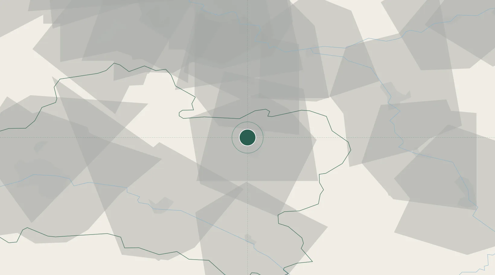
Location
Nearby Logistics Neighbours
Cities
- 1Montargis6 km
- 2Dordives10 km
- 3Château-Landon11 km
- 4Lombreuil13 km
- 5Le Bignon-Mirabeau19 km
Ports
- 1Port Of Rouen197 km
- 2Honfleur238 km
- 3Dieppe241 km
- 4Deauville242 km
- 5Le Treport245 km
Airports
Trade Zones
- 1ZFU Montereau-Fault-Yonne41 km
- 2ZFU Sens44 km
- 3ZFU Melun55 km
- 4ZFU Corbeil-Evry65 km
- 5ZFU Orléans68 km
DatabookThe Record of Consolidated Knowledge
France beyond logistics?