Transport Functions
Rail
Road
Hub Profile
Place type
District seat
Region
Centre-Val de Loire
Population
9,659
Time zone
Europe/Paris
Elevation
121 m
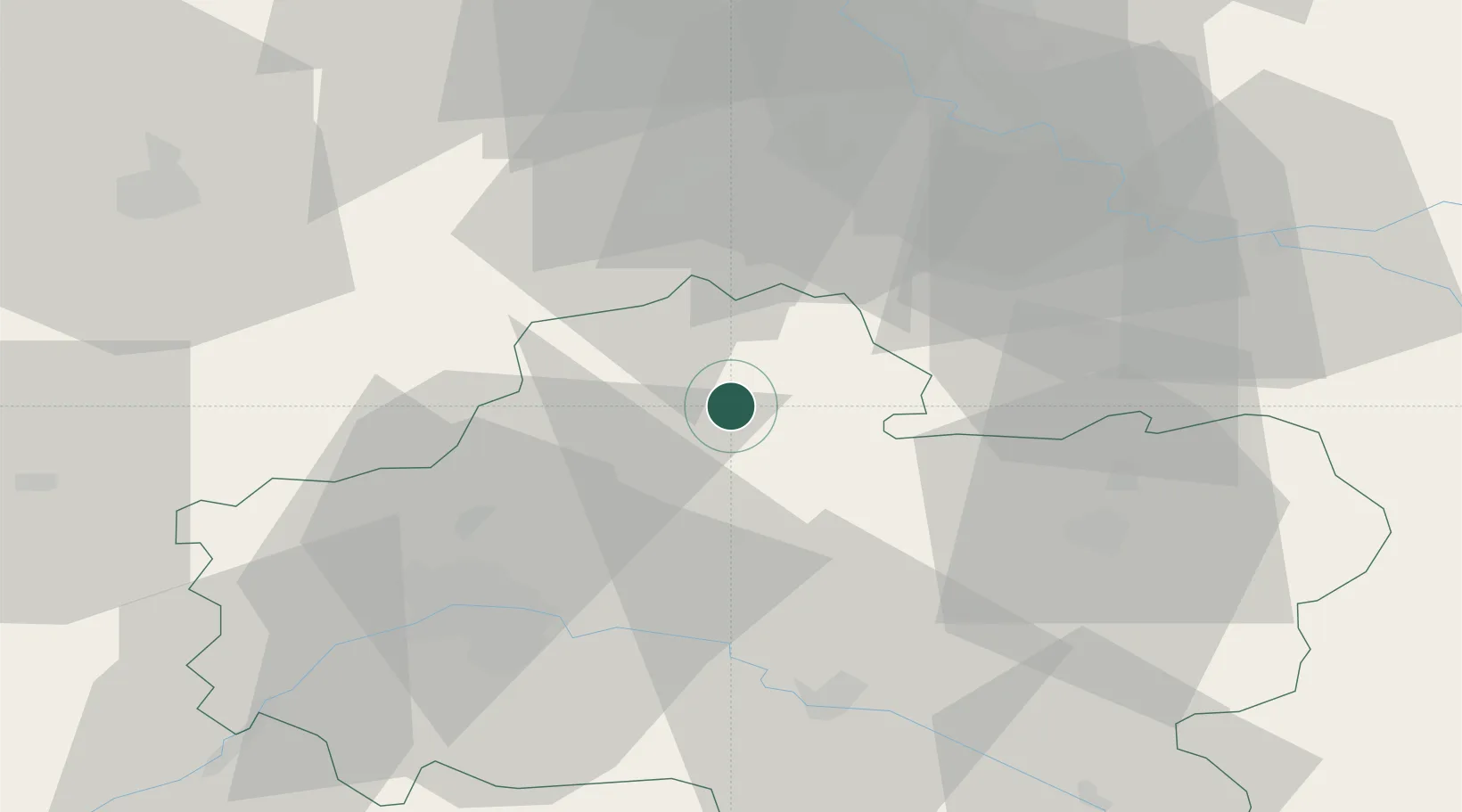
Location
Nearby Logistics Neighbours
Cities
- 1Escrennes6 km
- 2Bazoches-les-Gallerandes15 km
- 3Autruy-sur-Juine16 km
- 4Puiseaux17 km
- 5Malesherbes19 km
Ports
- 1Port Of Rouen167 km
- 2Honfleur204 km
- 3Deauville207 km
- 4Dieppe214 km
- 5Port Of Le Havre214 km
Airports
- 1Orléans-Bricy (BA 123) Air Base41 km
- 2Melun-Villaroche Airfield58 km
- 3Paris-Orly Airport63 km
- 4Châteaudun Airfield66 km
- 5Toussus-le-Noble Airport66 km
Trade Zones
- 1ZFU Orléans45 km
- 2ZFU Corbeil-Evry50 km
- 3ZFU Melun51 km
- 4ZFU Grigny Viry-Châtillon57 km
- 5ZFU Montereau-Fault-Yonne57 km
DatabookThe Record of Consolidated Knowledge
France beyond logistics?