Transport Functions
Rail
Road
Hub Profile
Place type
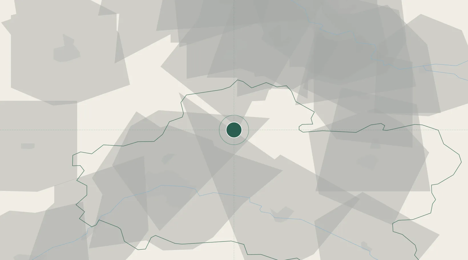
Populated place
Region
Centre-Val de Loire
Population
684
Time zone
Europe/Paris
Elevation
112 m
Location
Nearby Logistics Neighbours
Cities
- 1Pithiviers6 km
- 2Bazoches-les-Gallerandes11 km
- 3Autruy-sur-Juine16 km
- 4Ruan20 km
- 5Puiseaux22 km
Ports
- 1Port Of Rouen168 km
- 2Honfleur203 km
- 3Deauville206 km
- 4Port Of Le Havre213 km
- 5Dieppe216 km
Airports
- 1Orléans-Bricy (BA 123) Air Base35 km
- 2Châteaudun Airfield60 km
- 3Melun-Villaroche Airfield64 km
- 4Paris-Orly Airport67 km
- 5Toussus-le-Noble Airport69 km
Trade Zones
- 1ZFU Orléans39 km
- 2ZFU Corbeil-Evry55 km
- 3ZFU Melun57 km
- 4ZFU Grigny Viry-Châtillon62 km
- 5ZFU Montereau-Fault-Yonne63 km
DatabookThe Record of Consolidated Knowledge
France beyond logistics?