UN/LOCODE hub · France
FRBGX
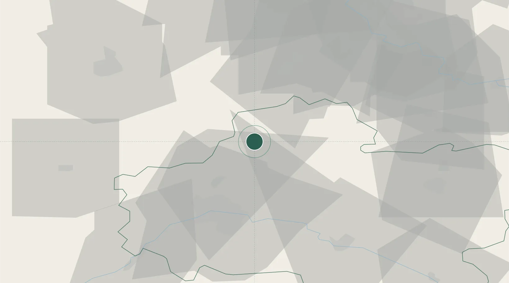
Bazoches-les-Gallerandes
48.1667°, 2.0500°
1,428
Population
1
Transport functions
Transport Functions
Multimodal
Hub Profile
Place type
Populated place
Region
Centre-Val de Loire
Population
1,428
Time zone
Europe/Paris
Elevation
129 m
Location
Nearby Logistics Neighbours
Cities
- 1Escrennes11 km
- 2Ruan11 km
- 3Autruy-sur-Juine12 km
- 4Pithiviers15 km
- 5Artenay16 km
Ports
- 1Port Of Rouen160 km
- 2Honfleur193 km
- 3Deauville196 km
- 4Port Of Le Havre204 km
- 5Dieppe209 km
Airports
- 1Orléans-Bricy (BA 123) Air Base29 km
- 2Châteaudun Airfield51 km
- 3Toussus-le-Noble Airport65 km
- 4Paris-Orly Airport67 km
- 5Melun-Villaroche Airfield67 km
Trade Zones
- 1ZFU Orléans36 km
- 2ZFU Corbeil-Evry56 km
- 3ZFU Melun60 km
- 4ZFU Grigny Viry-Châtillon61 km
- 5ZFU Epinay-sous-Sénart67 km
DatabookThe Record of Consolidated Knowledge
France beyond logistics?