Transport Functions
Road
Multimodal
Hub Profile
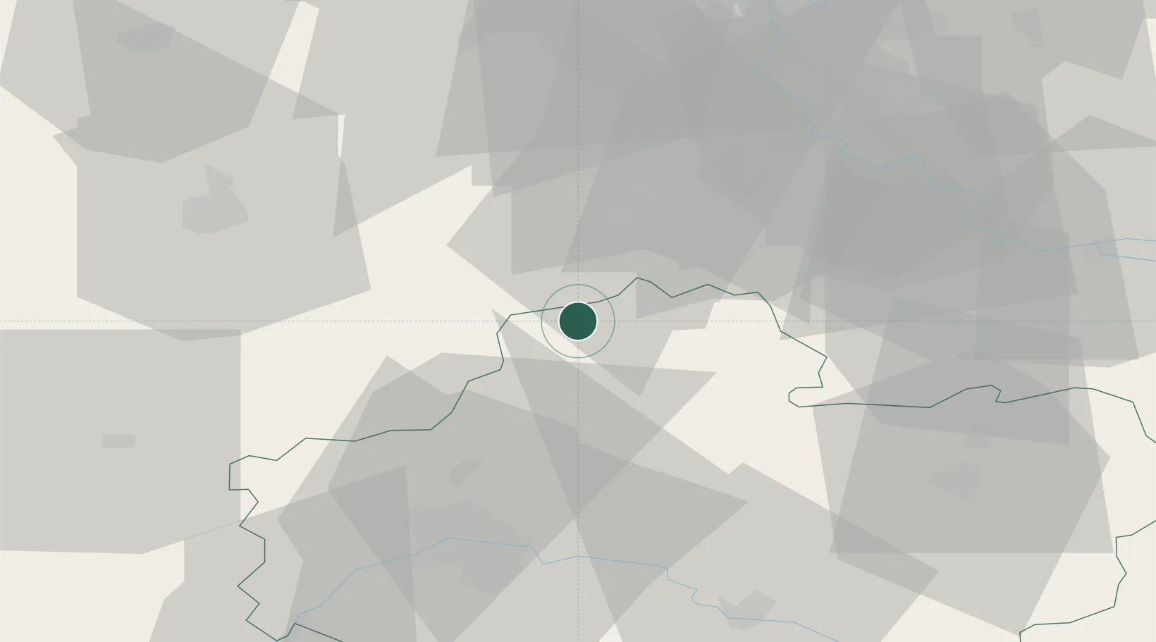
Place type
Populated place
Region
Centre-Val de Loire
Population
857
Time zone
Europe/Paris
Elevation
115 m
Location
Nearby Logistics Neighbours
Cities
- 1Bazoches-les-Gallerandes12 km
- 2Pithiviers16 km
- 3Escrennes16 km
- 4Étampes19 km
- 5Ruan22 km
Ports
- 1Port Of Rouen152 km
- 2Honfleur188 km
- 3Deauville192 km
- 4Port Of Le Havre198 km
- 5Dieppe200 km
Airports
Trade Zones
- 1ZFU Corbeil-Evry44 km
- 2ZFU Orléans48 km
- 3ZFU Grigny Viry-Châtillon49 km
- 4ZFU Melun50 km
- 5ZFU Epinay-sous-Sénart55 km
DatabookThe Record of Consolidated Knowledge
France beyond logistics?