Transport Functions
Rail
Road
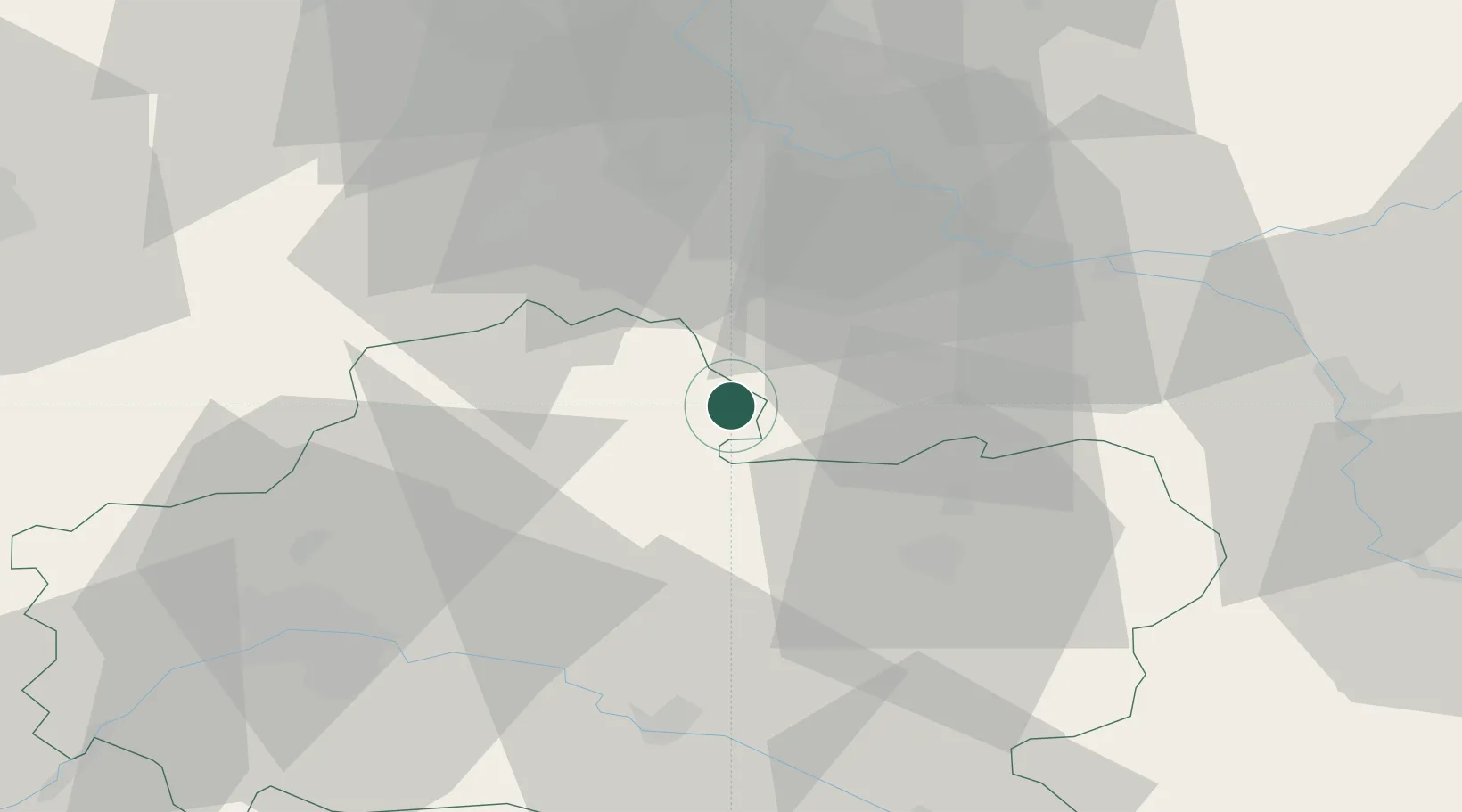
Hub Profile
Place type
Populated place
Region
Centre-Val de Loire
Time zone
Europe/Paris
Elevation
98 m
Location
Nearby Logistics Neighbours
Cities
- 1Fromont6 km
- 2Arville6 km
- 3Malesherbes12 km
- 4Bagneaux-sur-Loing17 km
- 5Pithiviers17 km
Ports
- 1Port Of Rouen173 km
- 2Honfleur213 km
- 3Dieppe218 km
- 4Deauville218 km
- 5Le Treport223 km
Airports
Trade Zones
- 1ZFU Melun40 km
- 2ZFU Montereau-Fault-Yonne41 km
- 3ZFU Corbeil-Evry44 km
- 4ZFU Grigny Viry-Châtillon53 km
- 5ZFU Epinay-sous-Sénart54 km
DatabookThe Record of Consolidated Knowledge
France beyond logistics?