Transport Functions
Rail
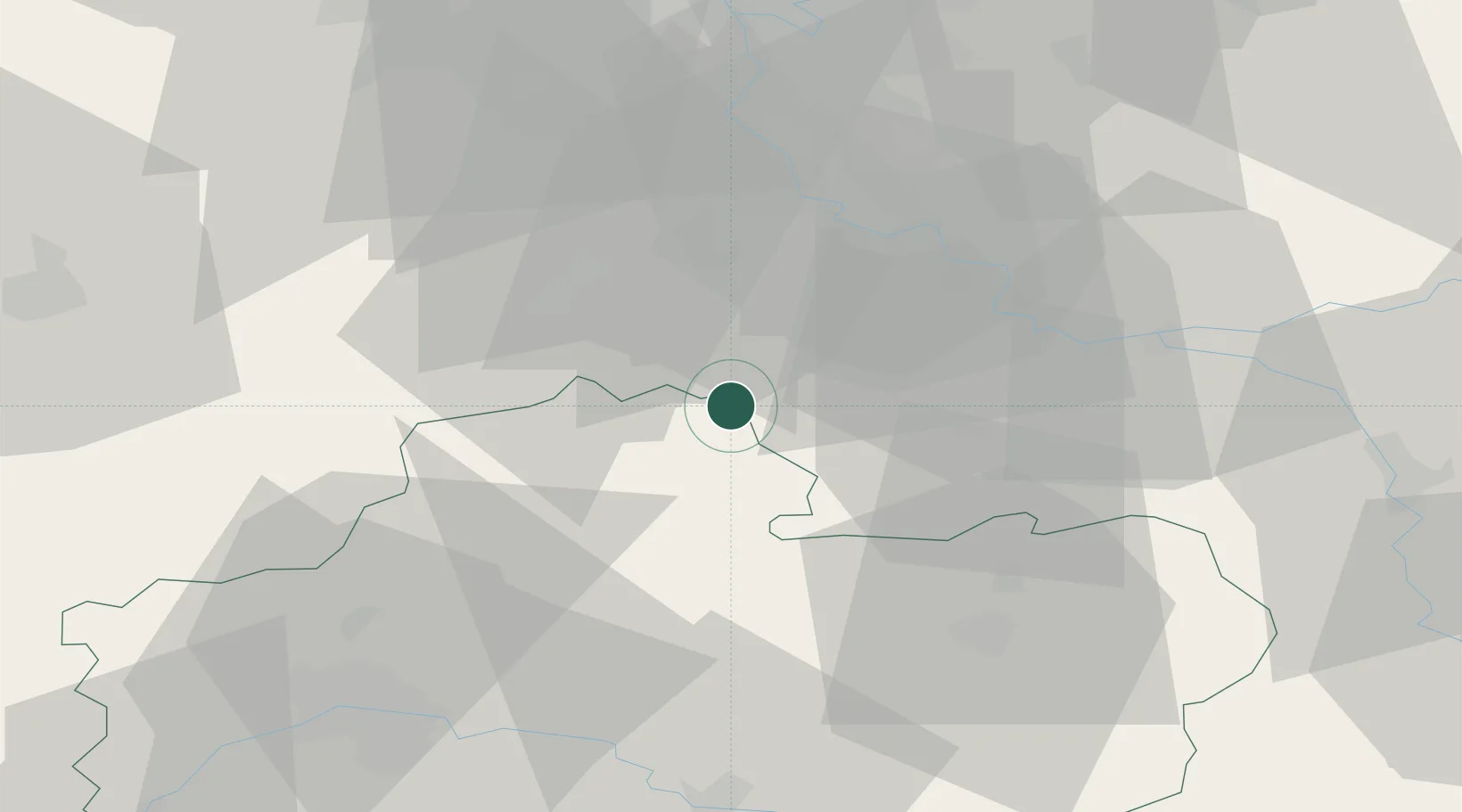
Hub Profile
Place type
Populated place
Region
Centre-Val de Loire
Population
6,335
Time zone
Europe/Paris
Elevation
111 m
Location
Nearby Logistics Neighbours
Cities
- 1Fromont9 km
- 2Maisse10 km
- 3Puiseaux12 km
- 4Arville17 km
- 5Pithiviers19 km
Ports
- 1Port Of Rouen161 km
- 2Honfleur202 km
- 3Dieppe205 km
- 4Deauville207 km
- 5Le Treport210 km
Airports
Trade Zones
- 1ZFU Melun32 km
- 2ZFU Corbeil-Evry33 km
- 3ZFU Grigny Viry-Châtillon41 km
- 4ZFU Montereau-Fault-Yonne41 km
- 5ZFU Epinay-sous-Sénart44 km
DatabookThe Record of Consolidated Knowledge
France beyond logistics?