UN/LOCODE hub · France
FRPI2

Pirou

49.1833°, -1.5833°
1,353
Population
1
Transport functions

Transport Functions

Port
UN/LOCODE

Hub Profile

Place type
Populated place
GeoNames
Region
Normandy
GeoNames
Population
1,353
GeoNames
Time zone
Europe/Paris
GeoNames
Elevation
15 m
GeoNames

Location

Location of FRPI2
Natural Earth 10m (public domain) · Normandy · FRPI2 · 49.18, -1.58GoogleOSMYandex

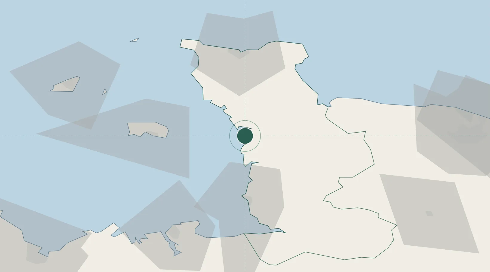
Nearby Logistics Neighbours

Cities
  1. 1Créances2 km
  2. 2Denneville16 km
  3. 3Hauteville-sur-Mer23 km
  4. 4Montmartin-sur-Mer23 km
  5. 5Auvers23 km
Nearest neighbours — logibook spatial index (haversine) over the source coordinates
Ports
  1. 1Saint Helier Harbour39 km
  2. 2Granville39 km
  3. 3Rade De Cherbourg52 km
  4. 4Saint-Malo67 km
  5. 5Saint Peter Port75 km
Nearest neighbours — logibook spatial index (haversine) over the source coordinates
Airports
  1. 1Granville Airport33 km
  2. 2Jersey Airport45 km
  3. 3Cherbourg Manche airport53 km
  4. 4Alderney Airport74 km
  5. 5Dinard Pleurtuit Saint-Malo airport76 km
Nearest neighbours — logibook spatial index (haversine) over the source coordinates
Trade Zones
  1. 1ZFU Cherbourg-Octeville51 km
  2. 2ZFU La Guérinière, La Grâce de Dieu86 km
  3. 3ZFU Hérouville-Saint-Clair90 km
  4. 4ZFU Le Havre128 km
  5. 5ZFU Alençon148 km
Nearest neighbours — logibook spatial index (haversine) over the source coordinates
DatabookThe Record of Consolidated Knowledge
France beyond logistics?
Browse databook

All Sources

LocationsUN/LOCODE
UN/LOCODE — free
LocationsGeoNames
CC BY 4.0
Portsthe NGA World Port Index
Public domain (US gov)
AirportsOurAirports
Public domain
Trade Zonesthe World Bank SEZ database
CC BY 4.0
Trade ZonesOpen Zone Map
CC BY
← France locations