UN/LOCODE hub · France
FRHSA
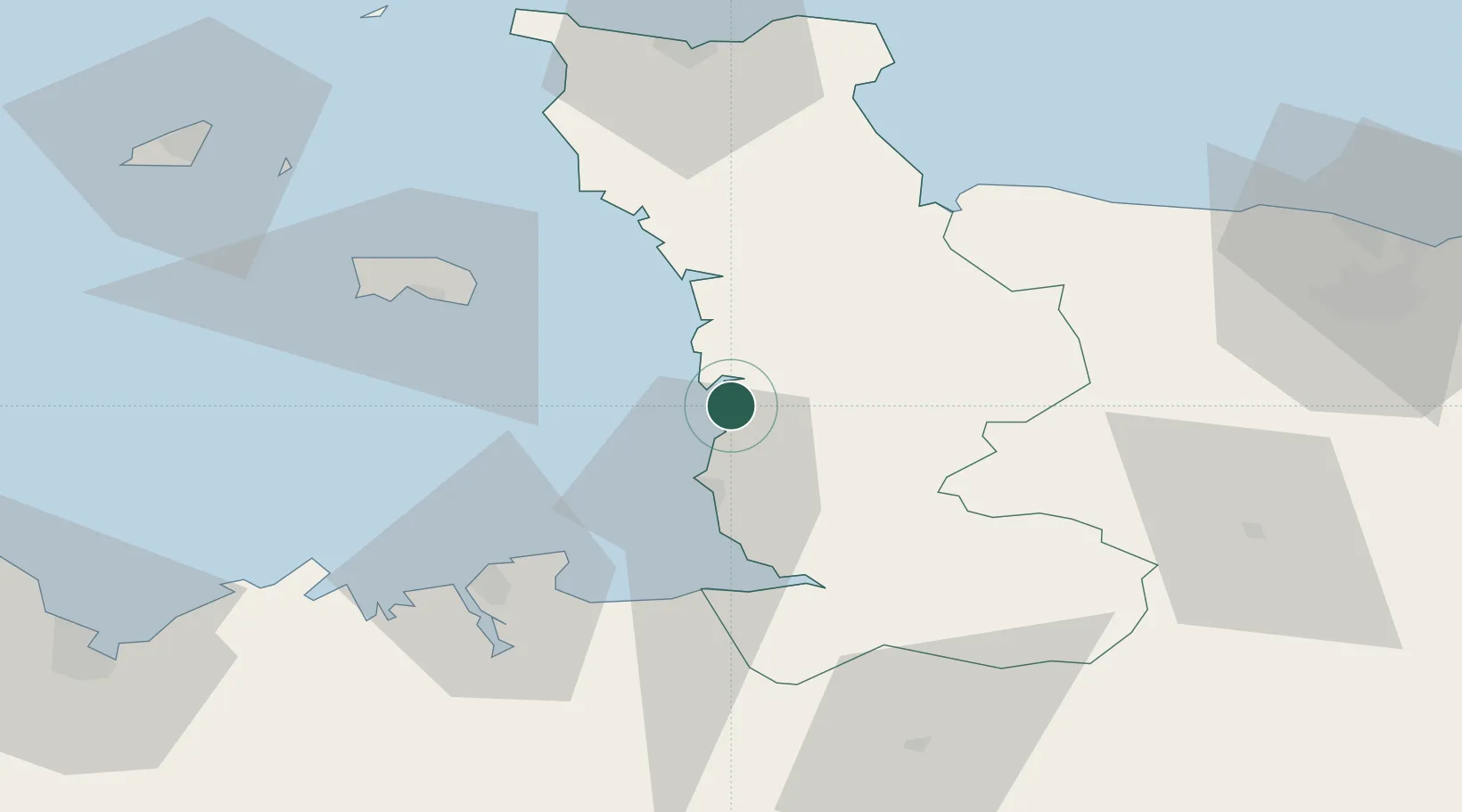
Hauteville-sur-Mer
48.9833°, -1.5333°
630
Population
1
Transport functions
Transport Functions
Port
Hub Profile
Place type
Populated place
Region
Normandy
Population
630
Time zone
Europe/Paris
Elevation
19 m
Location
Nearby Logistics Neighbours
Cities
- 1Montmartin-sur-Mer1 km
- 2Bricqueville-sur-Mer8 km
- 3Gavray15 km
- 4Granville17 km
- 5Chausey17 km
Ports
- 1Granville17 km
- 2Saint Helier Harbour48 km
- 3Saint-Malo51 km
- 4Rade De Cherbourg75 km
- 5Port De Caen89 km
Airports
- 1Granville Airport11 km
- 2Jersey Airport54 km
- 3Dinard Pleurtuit Saint-Malo airport60 km
- 4Cherbourg Manche airport74 km
- 5Caen Carpiquet airport81 km
Trade Zones
- 1ZFU Cherbourg-Octeville74 km
- 2ZFU La Guérinière, La Grâce de Dieu85 km
- 3ZFU Hérouville-Saint-Clair90 km
- 4ZFU Le Havre133 km
- 5ZFU Alençon133 km
DatabookThe Record of Consolidated Knowledge
France beyond logistics?