Transport Functions
Rail
Road
Hub Profile
Place type
Populated place
Region
Centre-Val de Loire
Population
6,659
Time zone
Europe/Paris
Elevation
93 m
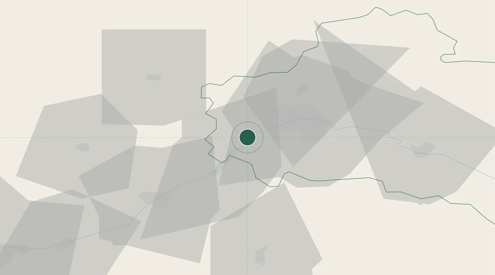
Location
Nearby Logistics Neighbours
Cities
- 1Cléry-Saint-André4 km
- 2Mareau-aux-Prés7 km
- 3Ormes14 km
- 4Olivet15 km
- 5Orléans17 km
Ports
- 1Port Of Rouen186 km
- 2Honfleur207 km
- 3Deauville208 km
- 4Port De Caen213 km
- 5Ouistreham216 km
Airports
- 1Orléans-Bricy (BA 123) Air Base18 km
- 2Châteaudun Airfield35 km
- 3Tours Val de Loire Airport85 km
- 4Bourges airport100 km
- 5Toussus-le-Noble Airport107 km
Trade Zones
- 1ZFU Orléans12 km
- 2ZFU Blois43 km
- 3ZFU Bourges96 km
- 4ZFU Corbeil-Evry101 km
- 5ZFU Dreux et Sainte-Gemme-Moronval105 km
DatabookThe Record of Consolidated Knowledge
France beyond logistics?