Economic Revitalization Project · France

ZFU Dreux et Sainte-Gemme-Moronval Active
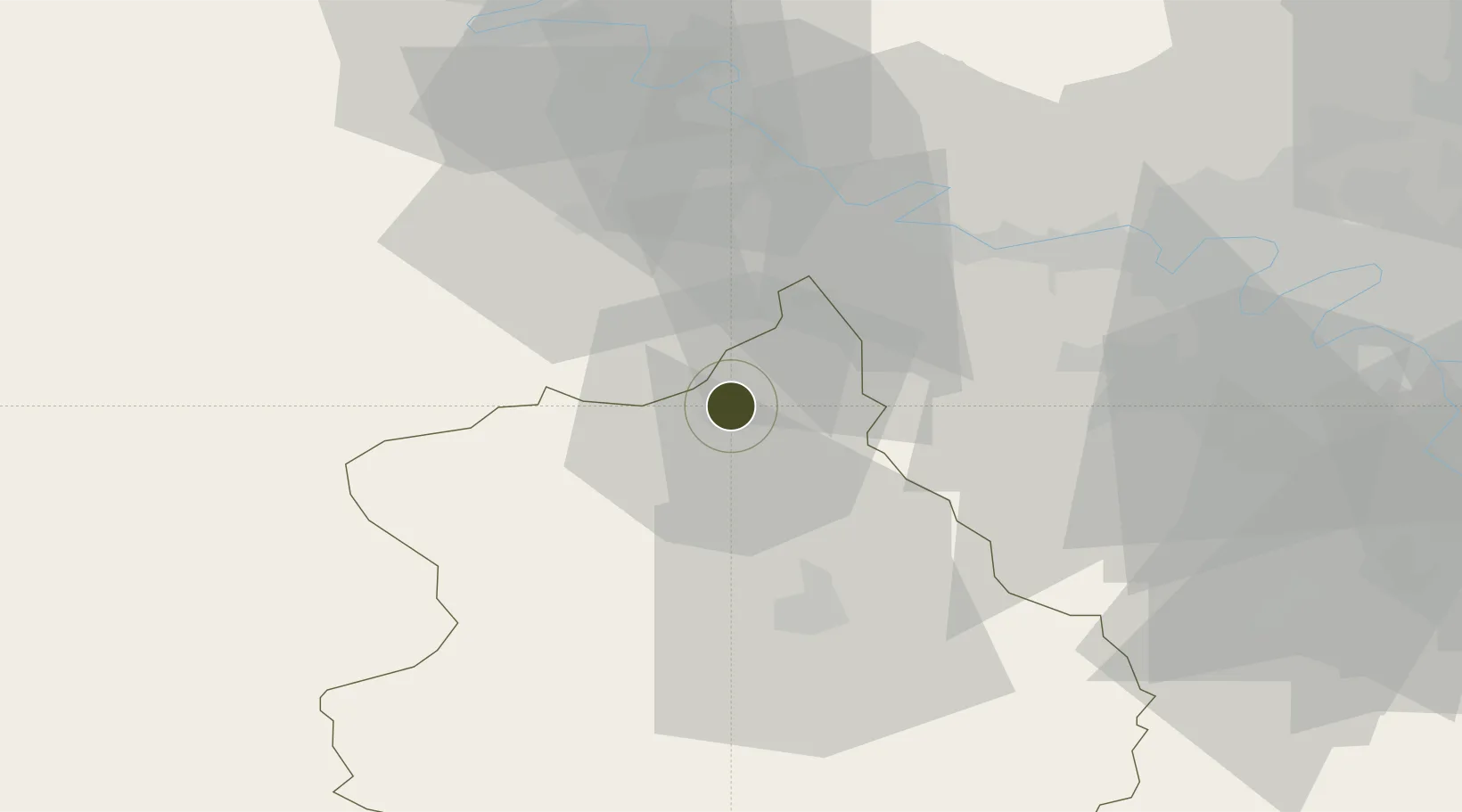
48.7498°, 1.3791°
100 ha
Zone area
81.1 km
Nearest port
33.1 km
Nearest airport

Gateway access

Nearest neighbours — logibook spatial index (haversine) over the source coordinates

Zone profile

Zone type
Economic Revitalization Project
Open Zone Map
Region
Eure-et-Loir
Open Zone Map
Status
Active
Open Zone Map
Management
Public
Open Zone Map
Operator
Mairie de Sainte Gemme Moronval et Ville de Dreux
Open Zone Map
Legal framework
Décret no 65-939 du 8 novembre 1965, Décret du 9 Octobre 2008
Open Zone Map

Location

Location of ozm-1946
Natural Earth 10m (public domain) · Eure-et-Loir · ozm-1946 · 48.75, 1.38GoogleOSMYandex

Nearby Logistics Neighbours

Ports
  1. 1Port Of Rouen81 km
  2. 2Honfleur113 km
  3. 3Deauville117 km
  4. 4Port Of Le Havre123 km
  5. 5Ouistreham133 km
Nearest neighbours — logibook spatial index (haversine) over the source coordinates
Airports
  1. 1Évreux-Fauville (BA 105) Air Base33 km
  2. 2Toussus-le-Noble Airport53 km
  3. 3Vélizy-Villacoublay Air Base61 km
  4. 4Pontoise-Cormeilles Aerodrome62 km
  5. 5Rouen Vallée de Seine Airport72 km
Nearest neighbours — logibook spatial index (haversine) over the source coordinates
Cities
  1. 1Montreuil2 km
  2. 2Vert-en-Drouais6 km
  3. 3Serville8 km
  4. 4La Madeleine-de-Nonancourt13 km
  5. 5Tremblay-les-Villages17 km
Nearest neighbours — logibook spatial index (haversine) over the source coordinates
Trade Zones
  1. 1ZFU Évreux35 km
  2. 2ZFU Mantes-la-Jolie36 km
  3. 3ZFU Trappes45 km
  4. 4ZFU Les Mureaux46 km
  5. 5ZFU Sartrouville61 km
Nearest neighbours — logibook spatial index (haversine) over the source coordinates
DatabookThe Record of Consolidated Knowledge
France beyond logistics?
Browse databook

All Sources

Trade ZonesOpen Zone Map
CC BY
Portsthe NGA World Port Index
Public domain (US gov)
AirportsOurAirports
Public domain
LocationsUN/LOCODE
UN/LOCODE — free
← France trade zones