UN/LOCODE hub · France
FRLQX

Saint-Michel-des-Loups

48.7667°, -1.5333°
2
Transport functions

Transport Functions

Road
Multimodal
UN/LOCODE

Hub Profile

Place type
Populated place
GeoNames
Region
Normandy
GeoNames
Time zone
Europe/Paris
GeoNames
Elevation
91 m
GeoNames

Location

Location of FRLQX
Natural Earth 10m (public domain) · Normandy · FRLQX · 48.77, -1.53GoogleOSMYandex

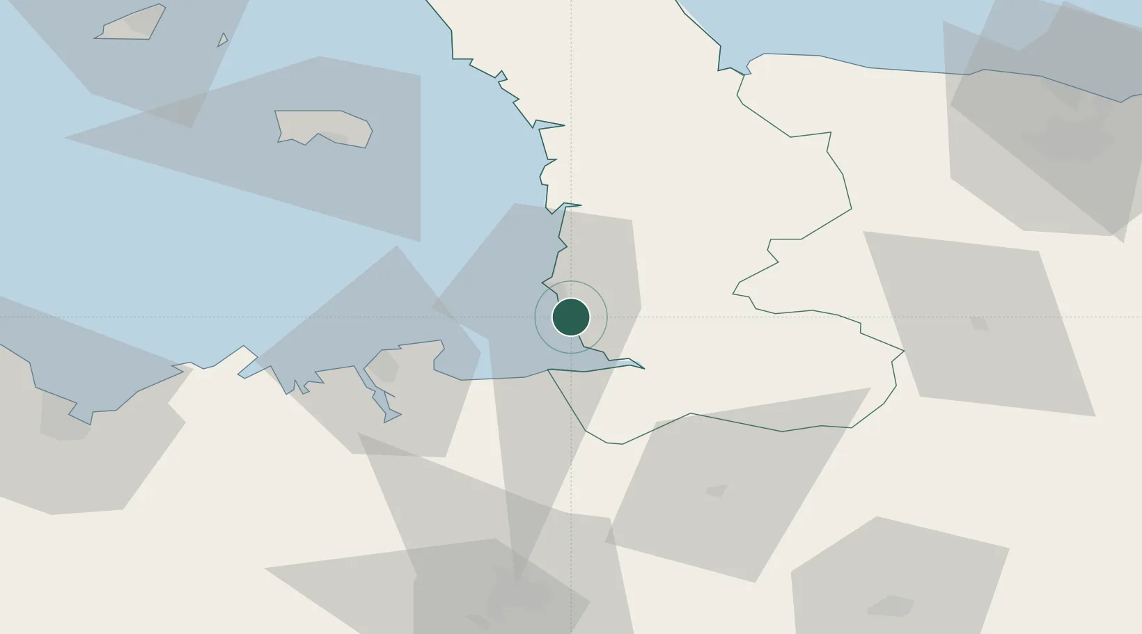
Nearby Logistics Neighbours

Cities
  1. 1Saint-Pair-sur-Mer6 km
  2. 2Granville8 km
  3. 3Chausey9 km
  4. 4Genets10 km
  5. 5Marcey-les-Grèves13 km
Nearest neighbours — logibook spatial index (haversine) over the source coordinates
Ports
  1. 1Granville9 km
  2. 2Saint-Malo38 km
  3. 3Saint Helier Harbour63 km
  4. 4Le Legue93 km
  5. 5Port De Caen98 km
Nearest neighbours — logibook spatial index (haversine) over the source coordinates
Airports
  1. 1Granville Airport13 km
  2. 2Dinard Pleurtuit Saint-Malo airport45 km
  3. 3Jersey Airport69 km
  4. 4Rennes-Saint-Jacques Airport79 km
  5. 5Caen Carpiquet airport91 km
Nearest neighbours — logibook spatial index (haversine) over the source coordinates
Trade Zones
  1. 1ZFU La Guérinière, La Grâce de Dieu94 km
  2. 2ZFU Cherbourg-Octeville98 km
  3. 3ZFU Hérouville-Saint-Clair99 km
  4. 4ZFU Alençon124 km
  5. 5ZFU Le Havre146 km
Nearest neighbours — logibook spatial index (haversine) over the source coordinates
DatabookThe Record of Consolidated Knowledge
France beyond logistics?
Browse databook

All Sources

LocationsUN/LOCODE
UN/LOCODE — free
Portsthe NGA World Port Index
Public domain (US gov)
AirportsOurAirports
Public domain
Trade Zonesthe World Bank SEZ database
CC BY 4.0
Trade ZonesOpen Zone Map
CC BY
← France locations