Transport Functions
Port
Road
Hub Profile
Place type
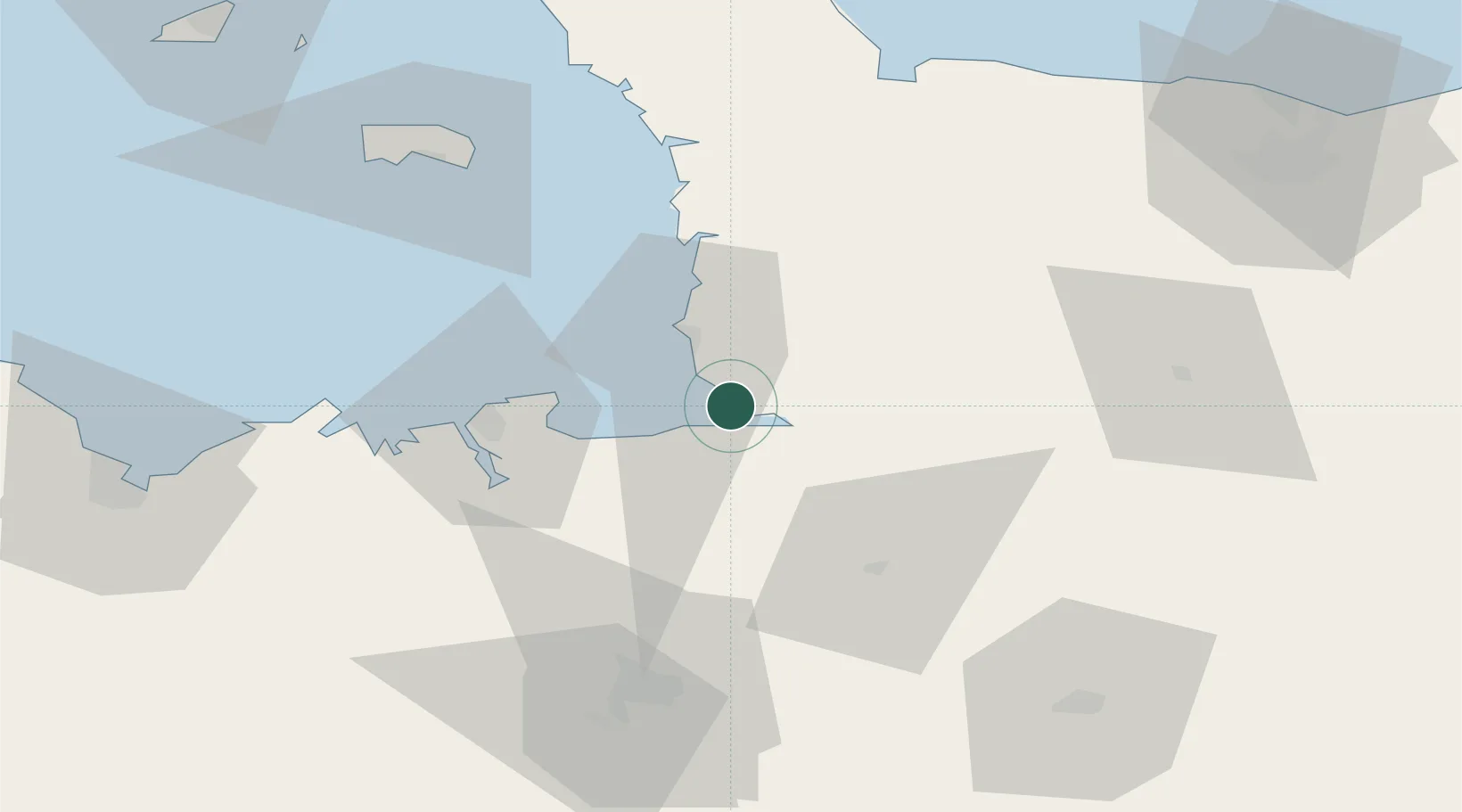
Populated place
Region
Normandy
Population
454
Time zone
Europe/Paris
Elevation
10 m
Location
Nearby Logistics Neighbours
Cities
- 1Marcey-les-Grèves8 km
- 2Le Val-Saint-Père10 km
- 3Saint-Michel-des-Loups10 km
- 4Moidrey13 km
- 5Saint-Pair-sur-Mer16 km
Ports
- 1Granville19 km
- 2Saint-Malo39 km
- 3Saint Helier Harbour72 km
- 4Le Legue95 km
- 5Port De Caen100 km
Airports
- 1Granville Airport23 km
- 2Dinard Pleurtuit Saint-Malo airport45 km
- 3Rennes-Saint-Jacques Airport71 km
- 4Jersey Airport78 km
- 5Laval-Entrammes Airport91 km
Trade Zones
- 1ZFU La Guérinière, La Grâce de Dieu96 km
- 2ZFU Hérouville-Saint-Clair101 km
- 3ZFU Cherbourg-Octeville107 km
- 4ZFU Alençon118 km
- 5ZFU Le Mans142 km
DatabookThe Record of Consolidated Knowledge
France beyond logistics?