UN/LOCODE hub · France
FRML5
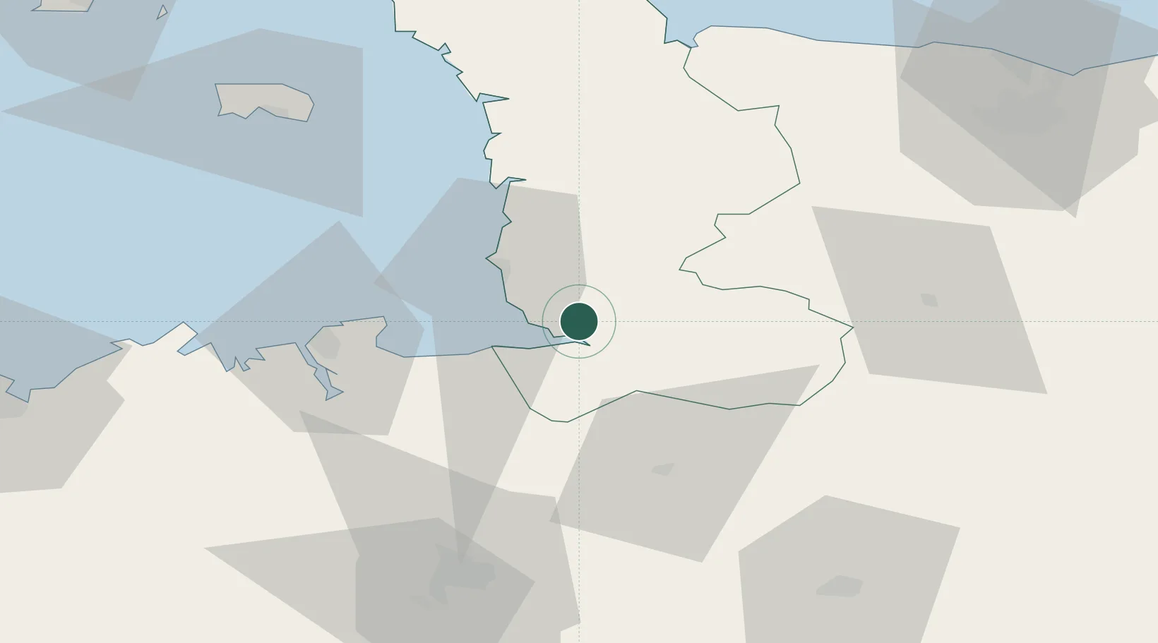
Marcey-les-Grèves
48.7000°, -1.3833°
1,128
Population
2
Transport functions
Transport Functions
Road
Multimodal
Hub Profile
Place type
Populated place
Region
Normandy
Population
1,128
Time zone
Europe/Paris
Elevation
19 m
Location
Nearby Logistics Neighbours
Cities
- 1Le Val-Saint-Père4 km
- 2Genets8 km
- 3Saint-Michel-des-Loups13 km
- 4Parigny13 km
- 5Moidrey17 km
Ports
- 1Granville22 km
- 2Saint-Malo47 km
- 3Saint Helier Harbour76 km
- 4Port De Caen93 km
- 5Le Legue102 km
Airports
- 1Granville Airport24 km
- 2Dinard Pleurtuit Saint-Malo airport53 km
- 3Rennes-Saint-Jacques Airport75 km
- 4Jersey Airport82 km
- 5Caen Carpiquet airport86 km
Trade Zones
- 1ZFU La Guérinière, La Grâce de Dieu89 km
- 2ZFU Hérouville-Saint-Clair94 km
- 3ZFU Cherbourg-Octeville107 km
- 4ZFU Alençon112 km
- 5ZFU Le Mans137 km
DatabookThe Record of Consolidated Knowledge
France beyond logistics?