UN/LOCODE hub · France
FRZEC
Domèvre-sur-Durbion
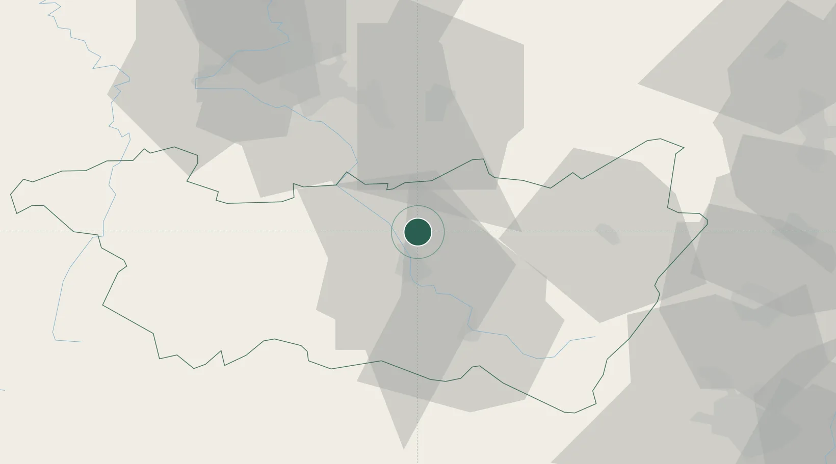
48.2833°, 6.4667°
304
Population
1
Transport functions
Transport Functions
Multimodal
Hub Profile
Place type
Populated place
Region
Grand Est
Population
304
Time zone
Europe/Paris
Elevation
308 m
Location
Nearby Logistics Neighbours
Cities
- 1Girmont3 km
- 2Châtel-sur-Moselle5 km
- 3Igney5 km
- 4Nomexy6 km
- 5Épinal11 km
Airports
Trade Zones
- 1ZFU Maxéville, Laxou, et de Nancy52 km
- 2ZFU Belfort75 km
- 3ZFU Mulhouse88 km
- 4ZFU Montbéliard90 km
- 5ZFU Metz94 km
DatabookThe Record of Consolidated Knowledge
France beyond logistics?