Transport Functions
Rail
Road
Hub Profile
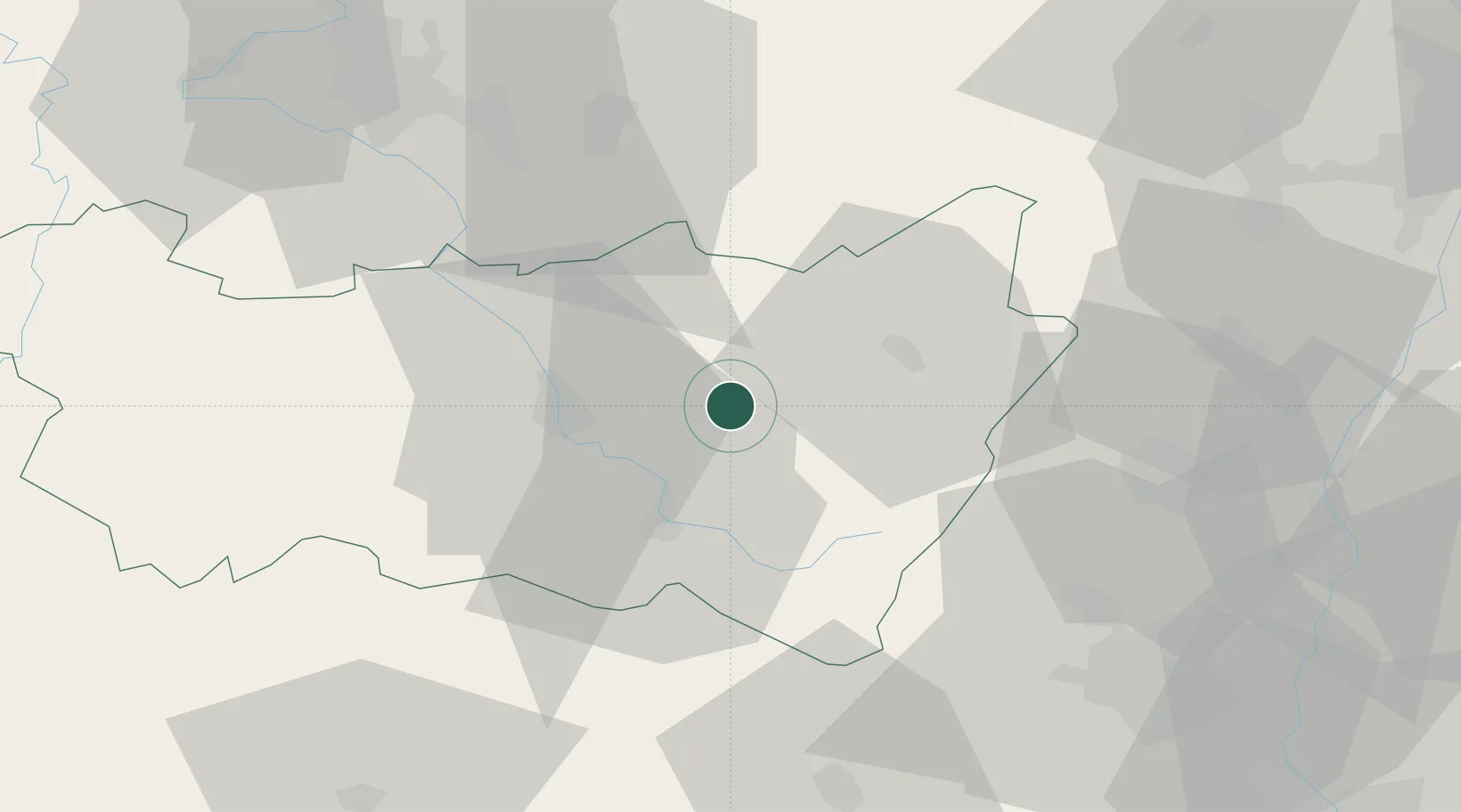
Place type
Populated place
Region
Grand Est
Population
623
Time zone
Europe/Paris
Elevation
417 m
Location
Nearby Logistics Neighbours
Cities
- 1Granges-sur-Vologne8 km
- 2Arches17 km
- 3Épinal19 km
- 4Domèvre-sur-Durbion20 km
- 5Saulcy-sur-Meurthe20 km
Airports
Trade Zones
- 1ZFU Belfort62 km
- 2ZFU Maxéville, Laxou, et de Nancy69 km
- 3ZFU Mulhouse69 km
- 4ZFU Montbéliard78 km
- 5ZFU Hautepierre85 km
DatabookThe Record of Consolidated Knowledge
France beyond logistics?