Transport Functions
Rail
Road
Multimodal
Hub Profile
Region
RP
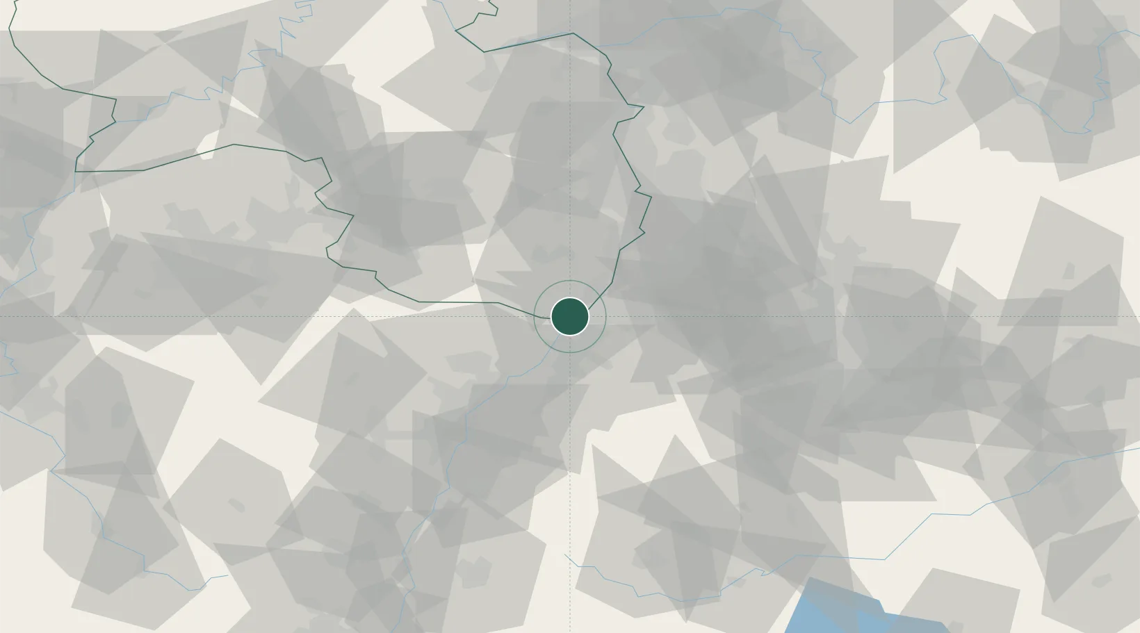
Location
Nearby Logistics Neighbours
Cities
- 1Lauterbourg2 km
- 2Durmersheim7 km
- 3Rheinstetten8 km
- 4Maximiliansau9 km
- 5Maxau10 km
Airports
- 1Karlsruhe Baden-Baden Airport24 km
- 2Mannheim-City Airport59 km
- 3Strasbourg Airport65 km
- 4Ramstein Air Base67 km
- 5Lahr Airport74 km
Trade Zones
- 1ZFU Hautepierre57 km
- 2ZFU Neuhof59 km
- 3ZFU La Cité Behren-lès-Forbach95 km
- 4ZFU Metz149 km
- 5ZFU Woippy-Metz151 km
DatabookThe Record of Consolidated Knowledge
Germany beyond logistics?