Transport Functions
Rail
Road
Hub Profile
Place type
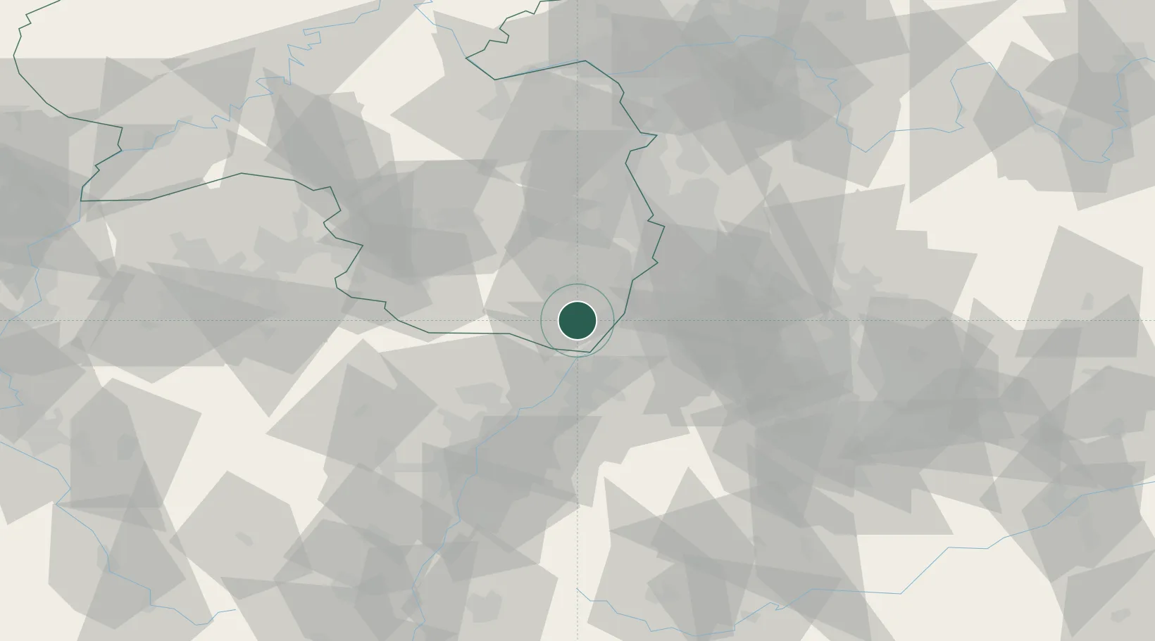
Populated place
Region
Rheinland-Pfalz
Population
8,385
Time zone
Europe/Berlin
Elevation
126 m
Location
Nearby Logistics Neighbours
Cities
- 1Jockgrim6 km
- 2Hatzenbühl6 km
- 3Rheinzabern7 km
- 4Freckenfeld7 km
- 5Hergersweiler8 km
Airports
- 1Karlsruhe Baden-Baden Airport35 km
- 2Mannheim-City Airport50 km
- 3Ramstein Air Base58 km
- 4Strasbourg Airport73 km
- 5Saarbrücken Airport79 km
Trade Zones
- 1ZFU Hautepierre65 km
- 2ZFU Neuhof68 km
- 3ZFU La Cité Behren-lès-Forbach92 km
- 4ZFU Metz147 km
- 5ZFU Woippy-Metz148 km
DatabookThe Record of Consolidated Knowledge
Germany beyond logistics?