Transport Functions
Road
Multimodal
Hub Profile
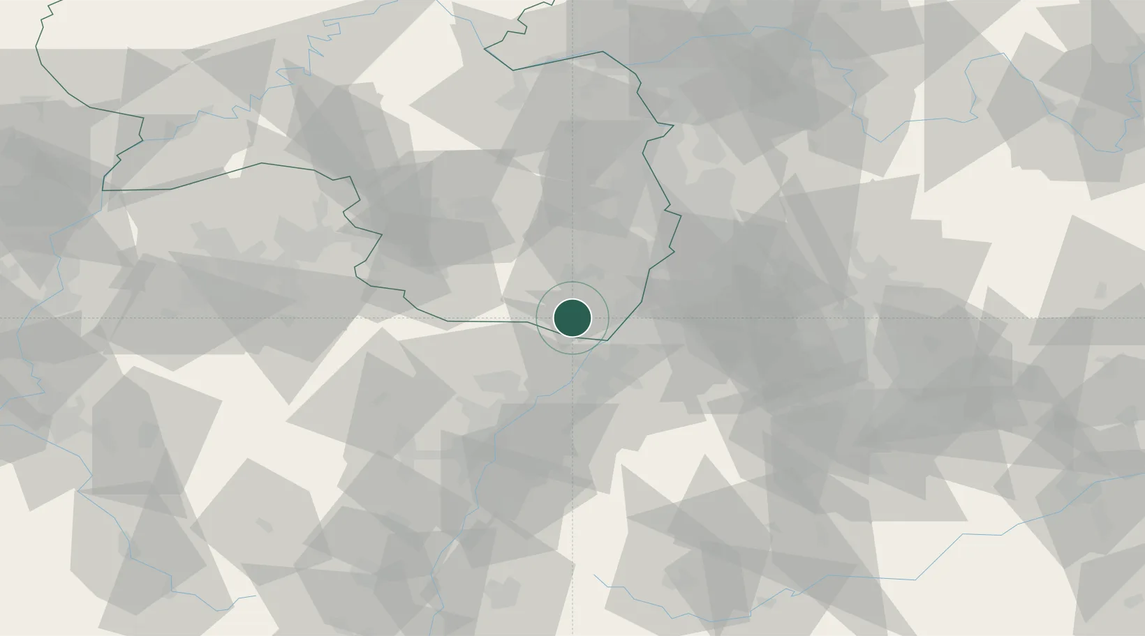
Place type
Local administrative seat
Region
Rheinland-Pfalz
Population
1,597
Time zone
Europe/Berlin
Elevation
135 m
Location
Nearby Logistics Neighbours
Cities
- 1Hergersweiler6 km
- 2Kandel7 km
- 3Kapellen-Drusweiler7 km
- 4Lauterbourg9 km
- 5Berg (Gemersheim)10 km
Airports
- 1Karlsruhe Baden-Baden Airport30 km
- 2Mannheim-City Airport56 km
- 3Ramstein Air Base56 km
- 4Strasbourg Airport67 km
- 5Phalsbourg-Bourscheid Air Base73 km
Trade Zones
- 1ZFU Hautepierre59 km
- 2ZFU Neuhof62 km
- 3ZFU La Cité Behren-lès-Forbach86 km
- 4ZFU Metz141 km
- 5ZFU Woippy-Metz143 km
DatabookThe Record of Consolidated Knowledge
Germany beyond logistics?