Transport Functions
Port
Multimodal
Hub Profile
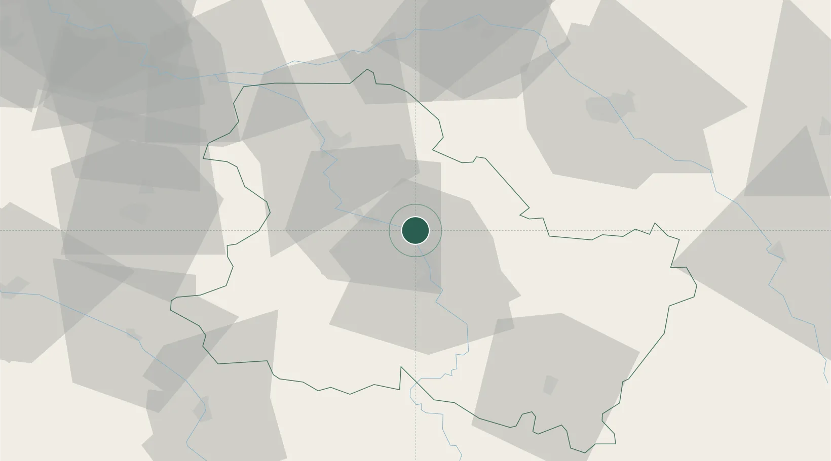
Place type
Populated place
Region
Bourgogne
Population
2,644
Time zone
Europe/Paris
Elevation
92 m
Location
Nearby Logistics Neighbours
Cities
- 1Migennes2 km
- 2Hauterive5 km
- 3Héry9 km
- 4Joigny11 km
- 5Montigny-la-Resle15 km
Ports
- 1Port Of Rouen246 km
- 2Le Treport284 km
- 3Dieppe284 km
- 4Saint-Valery-Sur-Somme285 km
- 5Honfleur293 km
Airports
- 1Auxerre Branches airport11 km
- 2Troyes-Barberey Airport55 km
- 3Melun-Villaroche Airfield97 km
- 4Chalons Vatry airport104 km
- 5Nevers-Fourchambault Airport110 km
Trade Zones
DatabookThe Record of Consolidated Knowledge
France beyond logistics?