Transport Functions
Multimodal
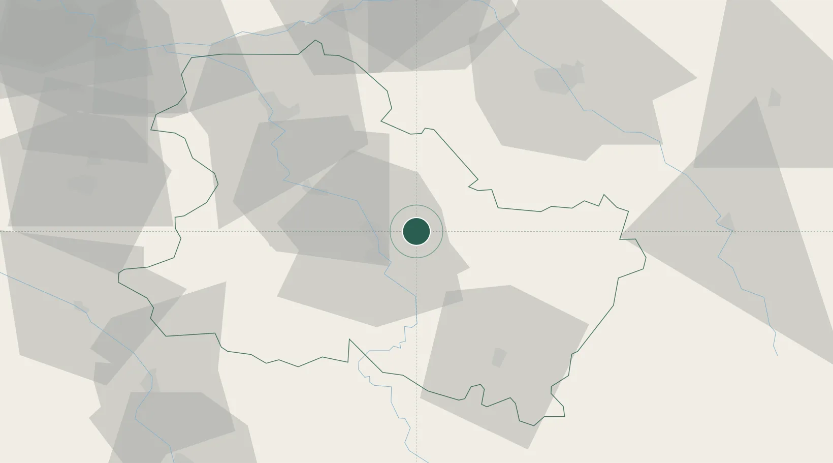
Hub Profile
Place type
Populated place
Region
Bourgogne
Population
589
Time zone
Europe/Paris
Elevation
150 m
Location
Nearby Logistics Neighbours
Cities
- 1Lignorelles3 km
- 2Bleigny-le-Carreau4 km
- 3Héry5 km
- 4Penmarch6 km
- 5Beine6 km
Ports
- 1Port Of Rouen261 km
- 2Le Treport297 km
- 3Dieppe298 km
- 4Saint-Valery-Sur-Somme298 km
- 5Honfleur308 km
Airports
- 1Auxerre Branches airport14 km
- 2Troyes-Barberey Airport56 km
- 3Nevers-Fourchambault Airport105 km
- 4Chalons Vatry airport108 km
- 5Melun-Villaroche Airfield111 km
Trade Zones
- 1ZFU Sens48 km
- 2ZFU La Chapelle Saint-Luc, Les Noës-près-Troyes, Troyes, Sainte-Savine55 km
- 3ZFU Montereau-Fault-Yonne80 km
- 4ZFU Melun108 km
- 5ZFU Chenôve117 km
DatabookThe Record of Consolidated Knowledge
France beyond logistics?