Transport Functions
Port
Multimodal
Hub Profile
Place type
Populated place
Region
Bourgogne
Population
11,527
Time zone
Europe/Paris
Elevation
107 m
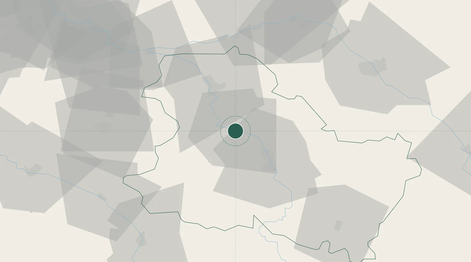
Location
Nearby Logistics Neighbours
Cities
- 1Villevallier7 km
- 2Migennes9 km
- 3Cheny11 km
- 4Hauterive16 km
- 5Cerisiers18 km
Ports
- 1Port Of Rouen236 km
- 2Dieppe275 km
- 3Le Treport275 km
- 4Saint-Valery-Sur-Somme277 km
- 5Honfleur283 km
Airports
- 1Auxerre Branches airport17 km
- 2Troyes-Barberey Airport59 km
- 3Melun-Villaroche Airfield88 km
- 4Chalons Vatry airport106 km
- 5Nevers-Fourchambault Airport111 km
Trade Zones
DatabookThe Record of Consolidated Knowledge
France beyond logistics?