Medium airport · France
Nevers-Fourchambault AirportLFQG
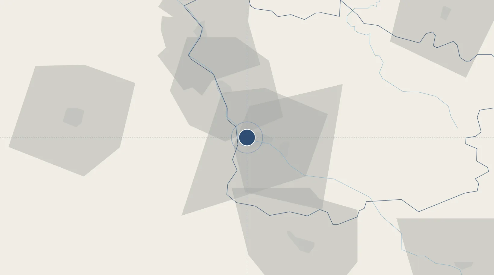
47.0029°, 3.1131°
5,348 ft
Longest runway
1
Runways
602 ft
Elevation
Runway & Layout

Radio Frequencies
INFO
120.6 MHz
NEVERS INFO
Runways · 1
| Runway | Dimensions | Surface | True heading | Lit |
|---|---|---|---|---|
| 12/30 | 5,348 × 98ft | Asphalt | 122° | ✓ |
Airport Specifications
IATA code
NVS
ICAO code
LFQG
Airport class
Medium airport
Scheduled service
No
Runway surface
Asphalt
Served city
Marzy, Nièvre
Location
Nearby Logistics Neighbours
Airports
- 1Avord (BA 702) Air Base37 km
- 2Bourges airport57 km
- 3Saint-Yan Airport95 km
- 4Vichy-Charmeil Airport95 km
- 5Auxerre Branches airport99 km
Cities
- 1Nevers3 km
- 2Marzy5 km
- 3Pougues-les-Eaux9 km
- 4Saint-Léger-le-Petit15 km
- 5Raveau20 km
Ports
- 1Port Of Rouen312 km
- 2Tonnay Charente330 km
- 3Rochefort333 km
- 4La Rochelle339 km
- 5Honfleur344 km
Trade Zones
- 1ZFU Bourges60 km
- 2ZFU Sens133 km
- 3ZFU Clermont-Ferrand135 km
- 4ZFU Orléans136 km
- 5ZFU Chenôve145 km
DatabookThe Record of Consolidated Knowledge
France beyond logistics?