Transport Functions
Multimodal
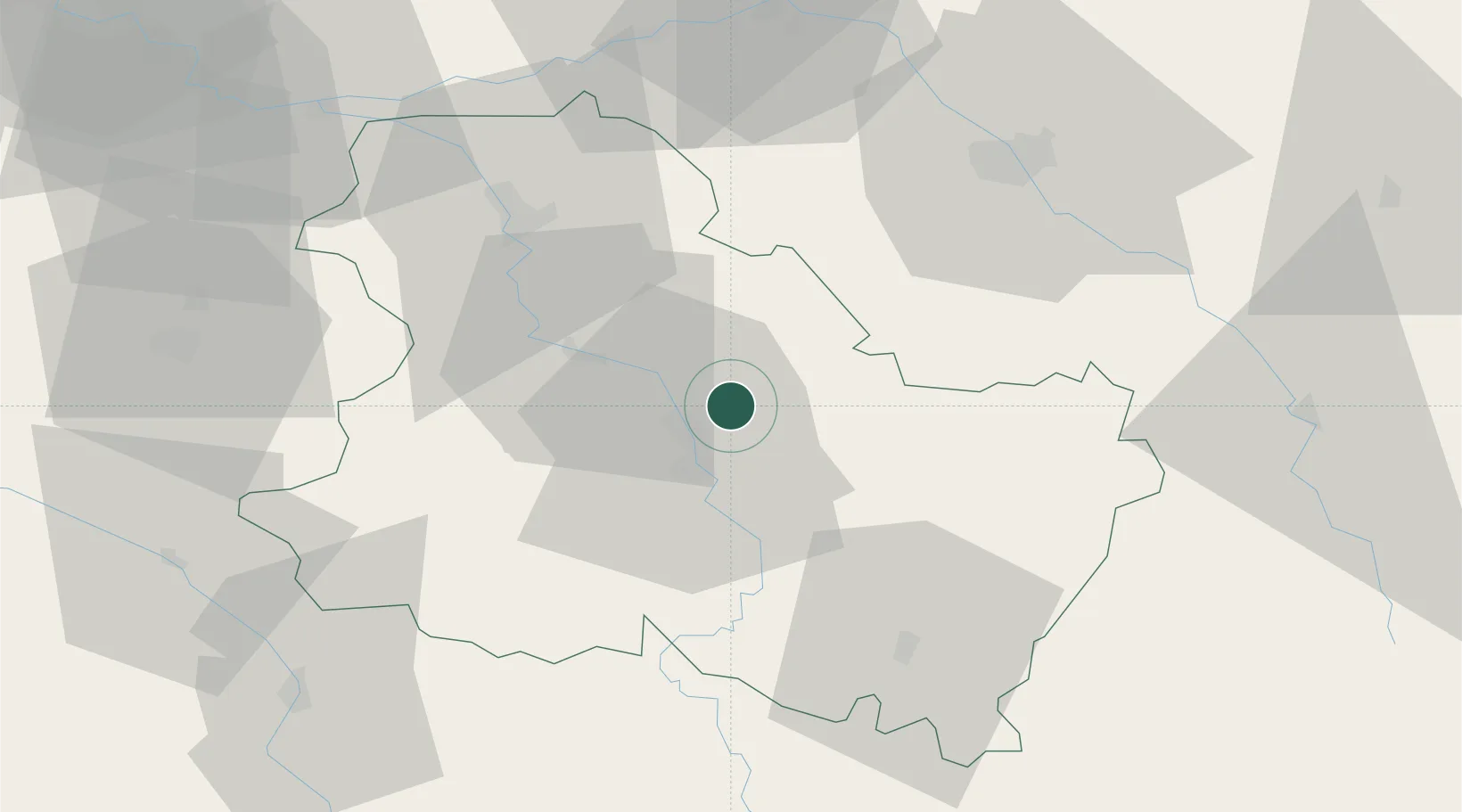
Hub Profile
Place type
Populated place
Region
Bourgogne
Population
1,813
Time zone
Europe/Paris
Elevation
111 m
Location
Nearby Logistics Neighbours
Cities
- 1Hauterive5 km
- 2Montigny-la-Resle5 km
- 3Bleigny-le-Carreau8 km
- 4Lignorelles8 km
- 5Cheny9 km
Ports
- 1Port Of Rouen255 km
- 2Le Treport292 km
- 3Dieppe293 km
- 4Saint-Valery-Sur-Somme293 km
- 5Honfleur302 km
Airports
- 1Auxerre Branches airport12 km
- 2Troyes-Barberey Airport55 km
- 3Melun-Villaroche Airfield106 km
- 4Chalons Vatry airport106 km
- 5Nevers-Fourchambault Airport107 km
Trade Zones
- 1ZFU Sens43 km
- 2ZFU La Chapelle Saint-Luc, Les Noës-près-Troyes, Troyes, Sainte-Savine54 km
- 3ZFU Montereau-Fault-Yonne75 km
- 4ZFU Melun103 km
- 5ZFU Corbeil-Evry118 km
DatabookThe Record of Consolidated Knowledge
France beyond logistics?