Transport Functions
Multimodal
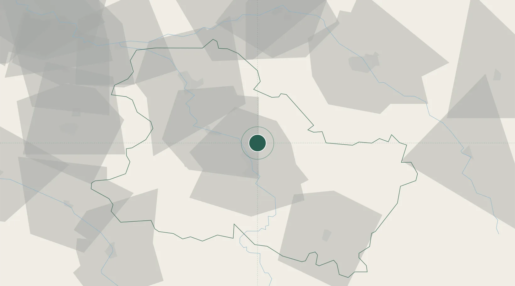
Hub Profile
Place type
Populated place
Region
Bourgogne
Population
356
Time zone
Europe/Paris
Elevation
92 m
Location
Nearby Logistics Neighbours
Cities
- 1Héry5 km
- 2Cheny5 km
- 3Migennes7 km
- 4Montigny-la-Resle10 km
- 5Lignorelles13 km
Ports
- 1Port Of Rouen251 km
- 2Le Treport288 km
- 3Dieppe289 km
- 4Saint-Valery-Sur-Somme289 km
- 5Honfleur298 km
Airports
- 1Auxerre Branches airport12 km
- 2Troyes-Barberey Airport53 km
- 3Melun-Villaroche Airfield102 km
- 4Chalons Vatry airport104 km
- 5Nevers-Fourchambault Airport110 km
Trade Zones
DatabookThe Record of Consolidated Knowledge
France beyond logistics?