Transport Functions
Rail
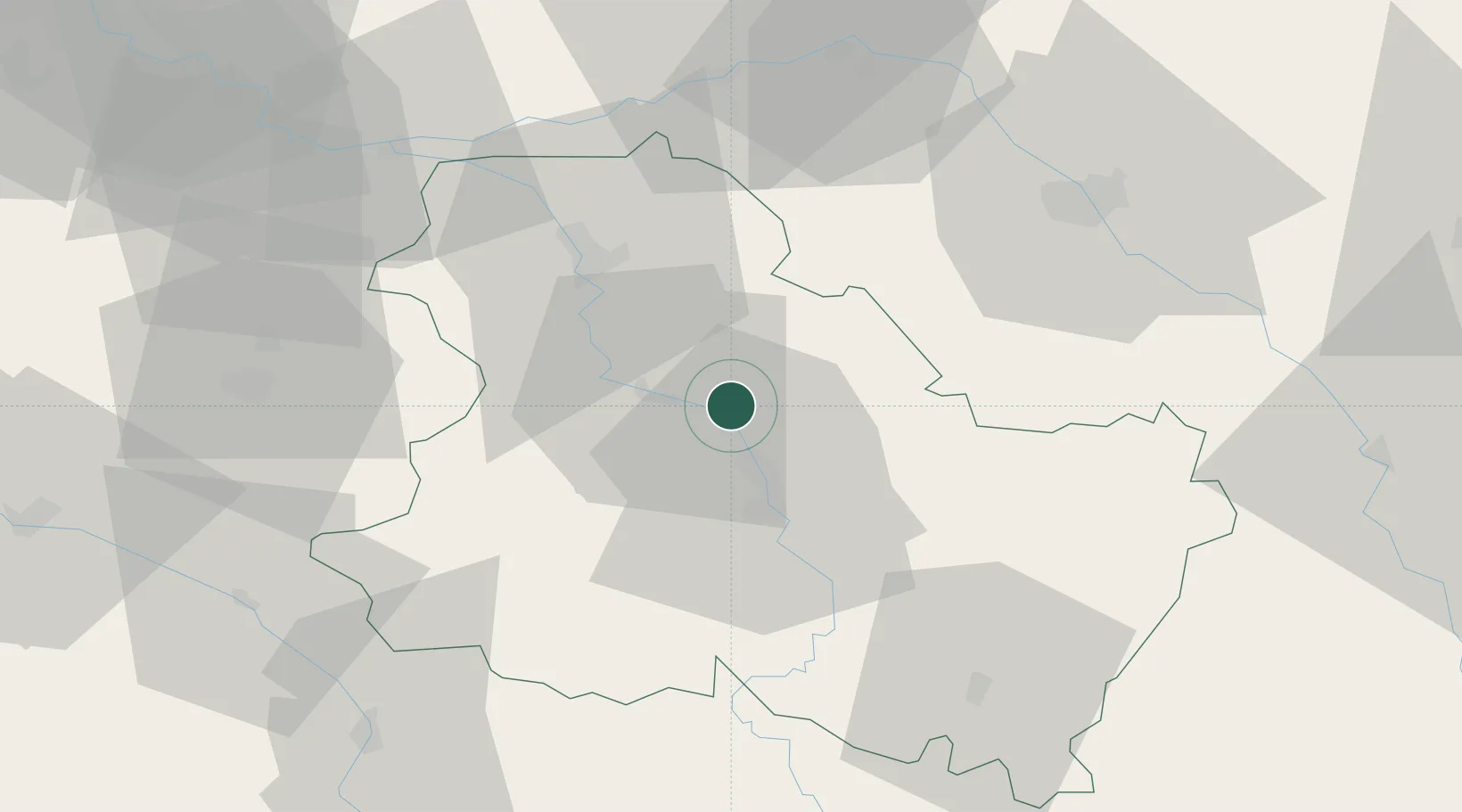
Hub Profile
Place type
Populated place
Region
Bourgogne
Population
8,637
Time zone
Europe/Paris
Elevation
86 m
Location
Nearby Logistics Neighbours
Cities
- 1Cheny2 km
- 2Hauterive7 km
- 3Joigny9 km
- 4Héry11 km
- 5Villevallier16 km
Ports
- 1Port Of Rouen244 km
- 2Le Treport281 km
- 3Dieppe282 km
- 4Saint-Valery-Sur-Somme283 km
- 5Honfleur291 km
Airports
- 1Auxerre Branches airport13 km
- 2Troyes-Barberey Airport54 km
- 3Melun-Villaroche Airfield95 km
- 4Chalons Vatry airport103 km
- 5Nevers-Fourchambault Airport111 km
Trade Zones
DatabookThe Record of Consolidated Knowledge
France beyond logistics?