Transport Functions
Multimodal
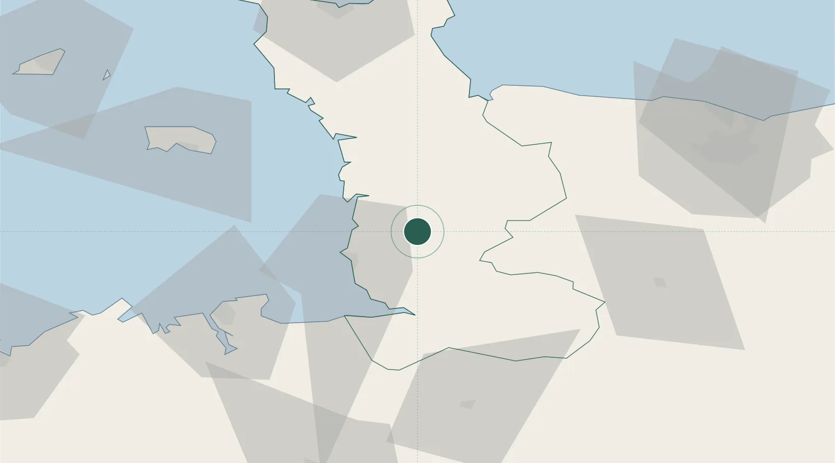
Hub Profile
Place type
Populated place
Region
Normandy
Population
1,524
Time zone
Europe/Paris
Elevation
31 m
Location
Nearby Logistics Neighbours
Cities
- 1Bricqueville-sur-Mer12 km
- 2Villedieu-les-Poêles14 km
- 3Montmartin-sur-Mer14 km
- 4Hauteville-sur-Mer15 km
- 5Saint-Pair-sur-Mer19 km
Ports
- 1Granville21 km
- 2Saint-Malo57 km
- 3Saint Helier Harbour63 km
- 4Port De Caen79 km
- 5Rade De Cherbourg84 km
Airports
- 1Granville Airport16 km
- 2Dinard Pleurtuit Saint-Malo airport65 km
- 3Jersey Airport70 km
- 4Caen Carpiquet airport71 km
- 5Cherbourg Manche airport82 km
Trade Zones
- 1ZFU La Guérinière, La Grâce de Dieu75 km
- 2ZFU Hérouville-Saint-Clair80 km
- 3ZFU Cherbourg-Octeville84 km
- 4ZFU Alençon118 km
- 5ZFU Le Havre125 km
DatabookThe Record of Consolidated Knowledge
France beyond logistics?