Transport Functions
Multimodal
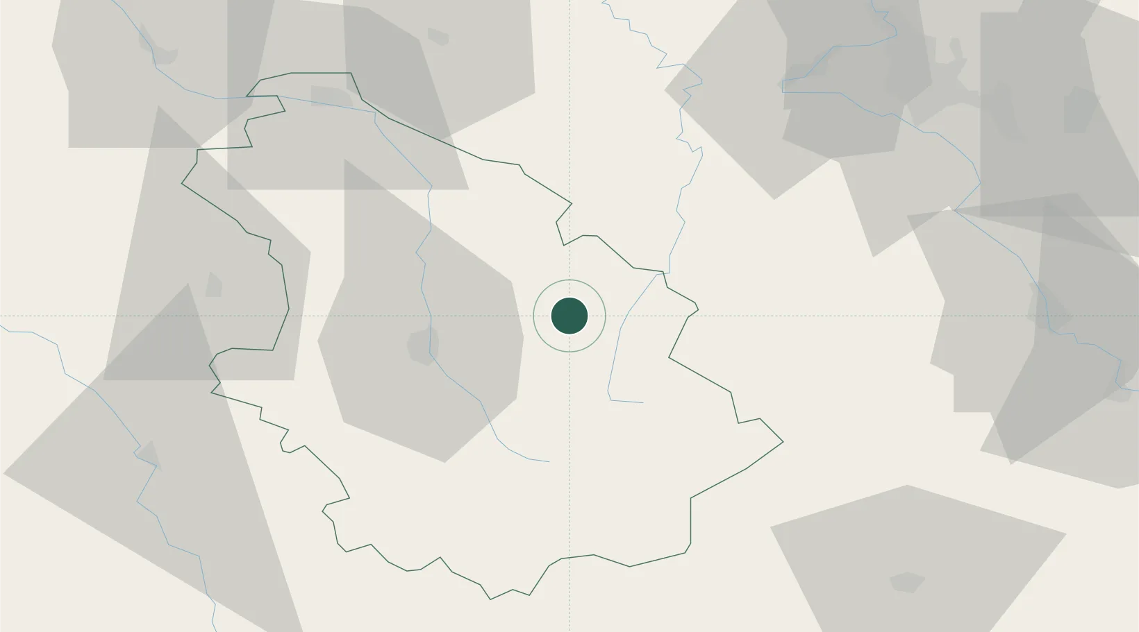
Hub Profile
Place type
Populated place
Region
Grand Est
Population
118
Time zone
Europe/Paris
Elevation
381 m
Location
Nearby Logistics Neighbours
Cities
- 1Nogent13 km
- 2Mandres-la-Côte16 km
- 3Merrey19 km
- 4Louvières21 km
- 5Pargny-sous-Mureau23 km
Airports
Trade Zones
DatabookThe Record of Consolidated Knowledge
France beyond logistics?