Transport Functions
Road
Multimodal
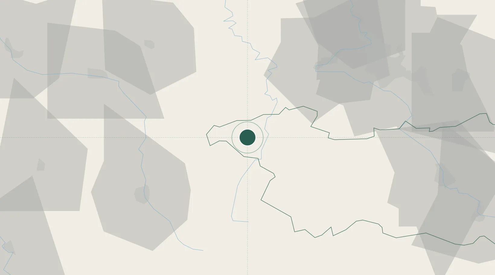
Hub Profile
Place type
Populated place
Region
Grand Est
Population
184
Time zone
Europe/Paris
Elevation
296 m
Location
Nearby Logistics Neighbours
Cities
- 1Neufchâteau8 km
- 2Certilleux11 km
- 3Cirfontaines-en-Ornois19 km
- 4Châtenois19 km
- 5Clinchamp23 km
Airports
Trade Zones
DatabookThe Record of Consolidated Knowledge
France beyond logistics?